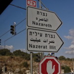
Israel
Church of the Annunciation
Church of St Joseph
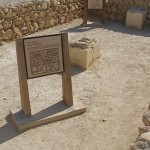
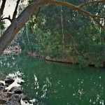
Mary’s Well and Church of St Gabriel
First-century houses
Nazareth Village
Church of the Synagogue
Church of the Nutrition
Mount Precipice
Franciscan Museum
Church of Jesus the Adolescent
Nazareth in Galilee is celebrated by Christians as the town where the Virgin Mary, aged around 14 years, agreed to become pregnant with the Son of God.

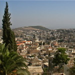
Modern Nazareth (© Israel Ministry of Tourism)
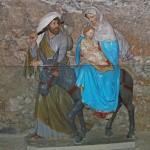
It also became the home town of Jesus, Mary and her husband Joseph after the Holy Family returned from fleeing to Egypt to escape Herod the Great’s soldiers.
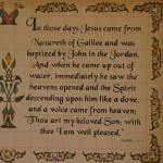
Nazareth is not mentioned in the Old Testament and has the reputation of being an insignificant backwater — epitomised by Nathanael’s retort when told that Jesus of Nazareth was the Messiah: “Can anything good come out of Nazareth?” (John 1:46).
But being hidden from the public eye, nestled in a hollow among the hills of Galilee, it provided an ideal setting for the years of preparation Jesus needed as he “increased in wisdom and in years, and in divine and human favour” (Luke 2:52).
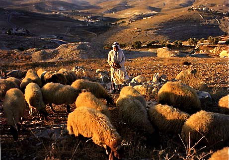
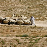
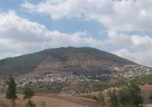
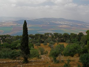
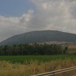
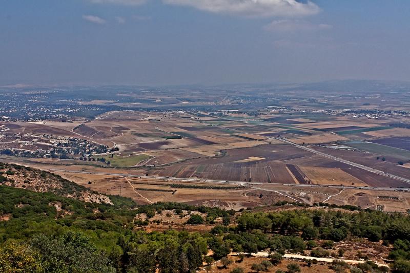
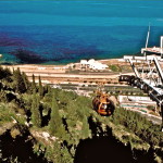
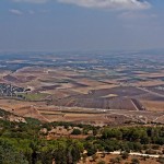
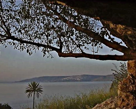
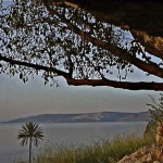
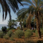
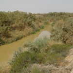
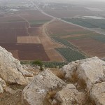
It was also a place from which a young boy could watch the world go by: South of the village, a vantage point overlooked the Plain of Jezreel, where traders and travellers passed along a great highway between Babylon and Cairo.
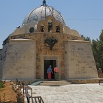
Church of the Annunciation
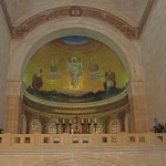
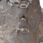
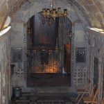
Grotto of the Annunciation (Seetheholyland.net)
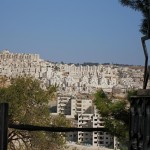
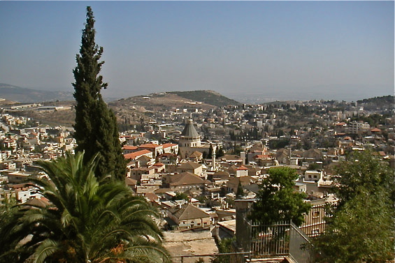
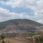
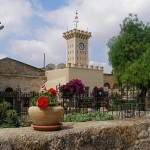
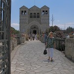
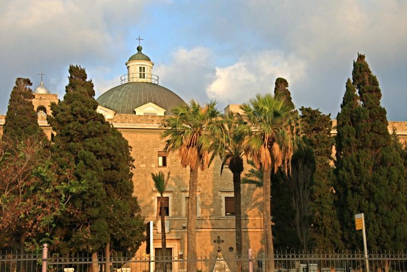
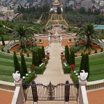
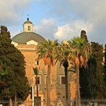
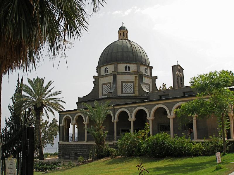
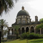
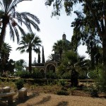
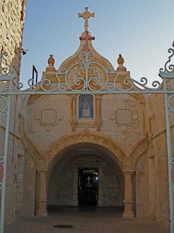
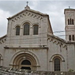
Modern-day Nazareth is dominated by the towering cupola of the Church of the Annunciation. It is an Arab city, mainly Muslim, with an adjoining Jewish upper city of Nof HaGalil (formerly Nazareth Ilit), but a profusion of churches, monasteries and other religious institutions make it a major centre of Christian pilgrimage.
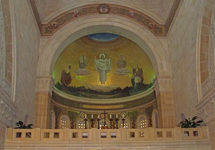
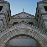
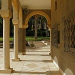
The massive two-storey Church of the Annunciation, in strikingly modern architectural style and colourfully decorated, is the largest Christian church in the Middle East.
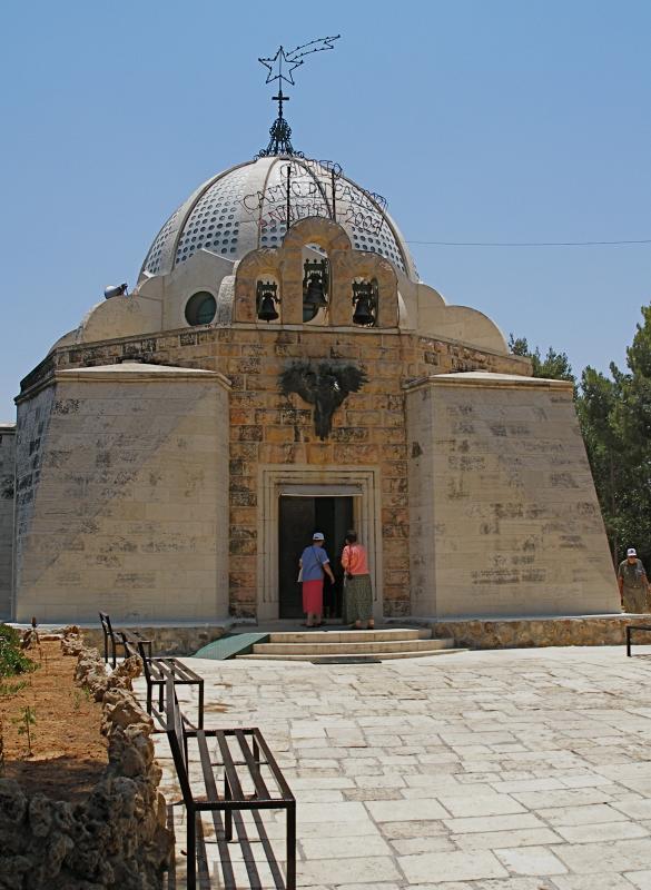
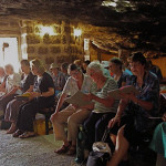
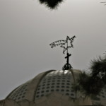
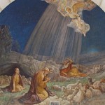
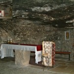
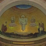
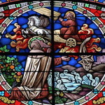
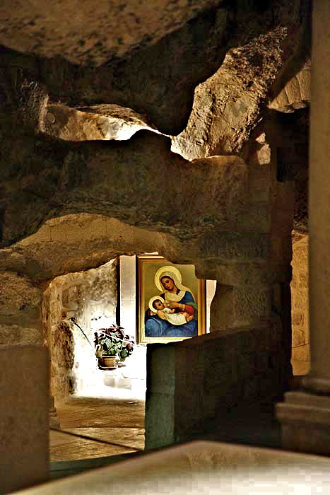
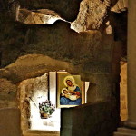
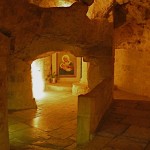
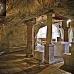
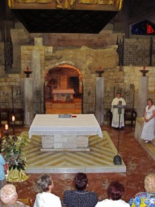
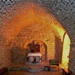
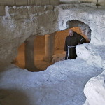
Its cupola, surmounted by a lantern symbolising the Light of the World, stands directly over a cave in the crypt that is traditionally held to be the home of the Virgin Mary. Here, it is believed, the archangel Gabriel told Mary she would become the mother of the Son of God.
The grotto is flanked by remnants of earlier churches on the site. Its entrance is sometimes closed by a protective grille.
The entrance to the lower church is from the west, where above the triple doorway the façade of cream limestone carries a quotation in Latin: “The Word was made flesh, and dwelt among us” (John 1:14).
A spiral stairway at the main entrance leads to the upper church. This is the parish church for the Catholic community of Nazareth (which is why the inscriptions on the ceramic Stations of the Cross are in Arabic). The main entrance for the upper church is on the northern side.
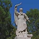
Over a door on the southern side is a statue of Mary aged 14, the age she is believed to have been at the time of the Annunciation, welcoming all who come to visit her home.
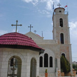
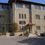
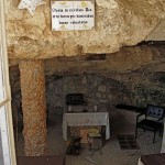
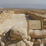
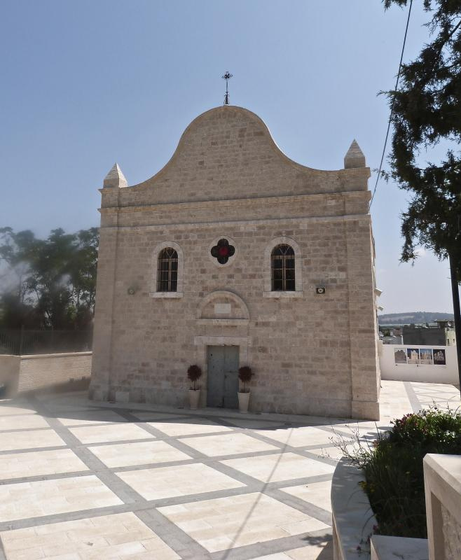
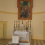
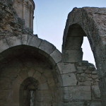
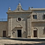
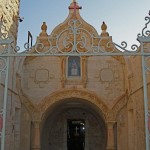
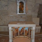
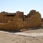
Church of St Joseph
Next to the Church of the Annunciation, on the northern side, is the Church of St Joseph (also known as the Church of the Nutrition and Joseph’s Workshop).
This is a solid and unpretentious building, very much in the shadow of the imposing Annunciation basilica — just as St Joseph himself lived in the shadow of Jesus and Mary.
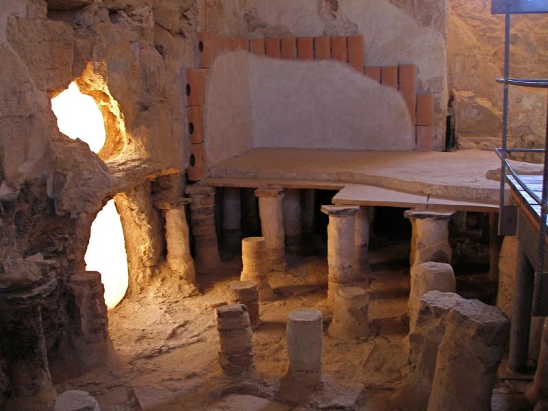
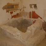
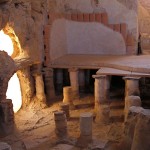
Stairs lead down to a crypt, where a 2-metre square basin cut into the rock, its floor decorated in a black-and-white mosaic, is believed to be a pre-Constantinian baptismal site.
Further steps and a narrow passage lead to an underground chamber. A pious tradition from the 17th century, with no foundation, holds that this chamber was Joseph’s carpentry workshop.
Even if the site was the home of the Holy Family, it is unlikely to have had a carpentry workshop in the modern sense. The Gospels use the Greek word tekton, meaning builder or artisan, to describe Joseph. He most likely worked with stone more than with wood, since stone was the common building material.
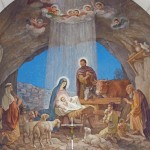
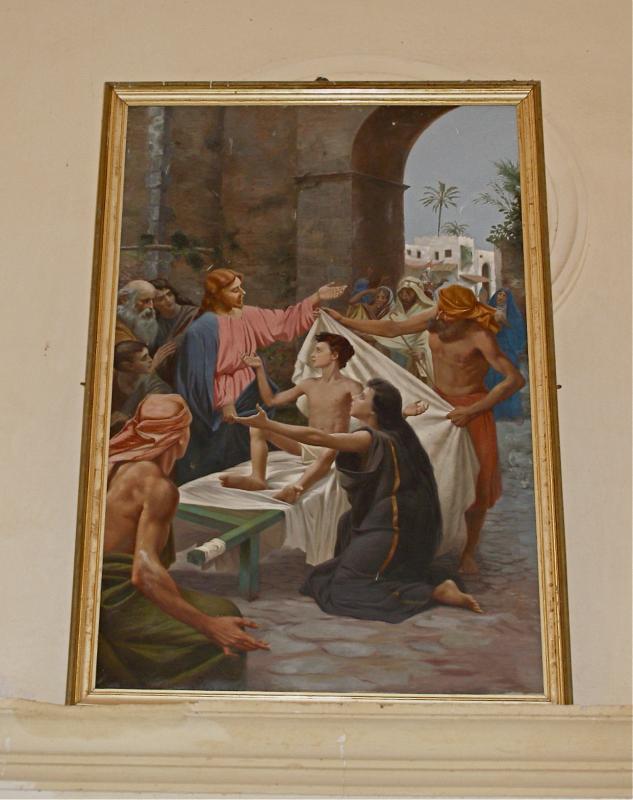
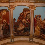
The apse of the church has three noteworthy paintings: The Holy Family, The Dream of Joseph, and The Death of Joseph in the Arms of Jesus and Mary.
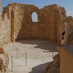
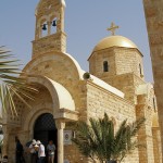
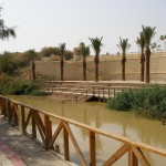
Mary’s Well
Mary’s Well, Nazareth (Seetheholyland.net)
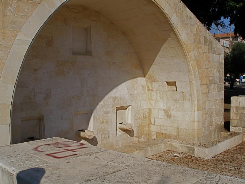
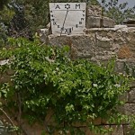
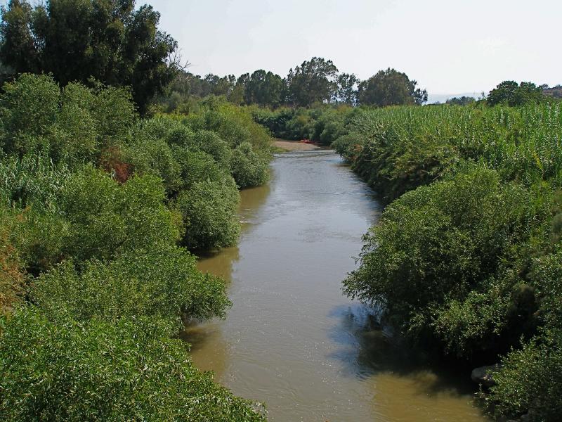
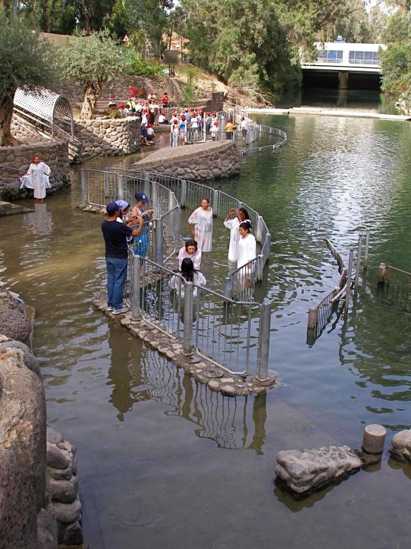
Some 400 metres north of the Church of the Annunciation, just off the main street, is Mary’s Well. Fed by the main freshwater spring in the little village, it would have been visited daily by Mary, often accompanied by her young son.
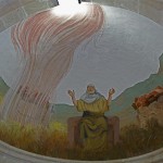
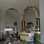
According to the Greek Orthodox, whose Church of St Gabriel is adjacent, this is the true site of the Annunciation. But both traditions can be accommodated by an account in the early Protoevangelium of James.
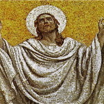
This apocryphal document says the archangel Gabriel first approached Mary as she went to draw water at the well. Frightened by the stranger’s approach, the young girl ran back to her home. There the archangel appeared again and this time delivered his message.
The present water-trough structure is a reconstruction carried out in 2000. Water is piped from the spring, about 200 metres to the north.
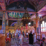
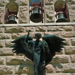
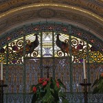
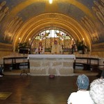
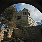
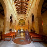
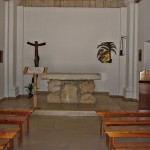
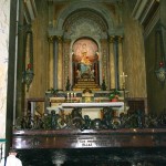
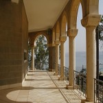
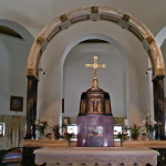
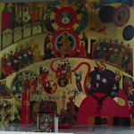
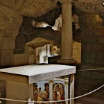
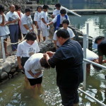
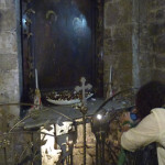
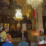
Water from the spring can be seen in St Gabriel’s Church, in a well-like structure in the crypt. The stonework dates from the time of the Crusaders, who also built a church on this site. St Gabriel’s, surrounded by a high wall, contains many interesting icons and frescoes.
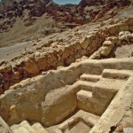
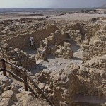
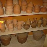
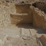
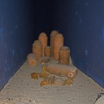
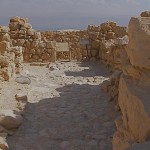
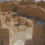
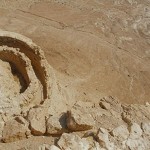
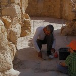
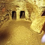
First-century houses
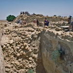
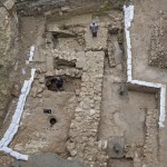
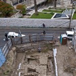
In December 2009 the Israel Antiquities Authority announced the discovery of a house from the time of Christ in the centre of Nazareth. It said this was “the very first” residential building found from the old Jewish village.
Small and modest, the house consisted of two rooms and a courtyard with a cistern to collect rainwater.
The remains of the house were found during an excavation prior to construction of the now-closed Mary of Nazareth International Center, next to the Church of the Annunciation. The remains were conserved and displayed in that building.
In 2015 the remains of a first-century domestic building within the Sisters of Nazareth Convent, across the street from the Church of the Annunciation, was suggested as the house where Byzantine church builders believed Jesus spent his childhood. Byzantine and Crusader churches had been built on the site.
This house has been given the name of the Church of the Nutrition, meaning “the church of the upbringing of Christ”.
Additional sites in Nazareth
Nazareth has several other sites of interest to pilgrims:
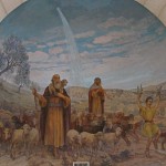
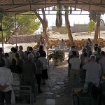
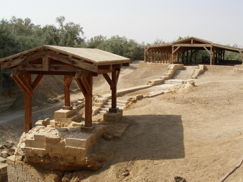
• Nazareth Village: Life in the time of Jesus has been authentically recreated on the site of a 1st-century working terrace farm, just 500 metres south-west of the Church of the Annunciation.
Visitors can see and hear the animals, smell and taste the food, see donkeys pull a plough and hear in-character villagers talk about daily life and their work at the wine and olive presses, on the threshing floor and in the weaving room.
Besides watchtowers, a spring-fed irrigation system and an ancient quarry, the village has an accurate replica of a 1st-century synagogue.
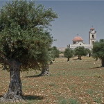
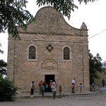
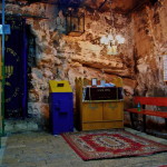
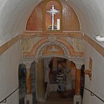
• Synagogue Church: The dome and bell towers of this Melkite Greek Catholic church rise over the old market of Nazareth, up a street almost due east of St Joseph’s Church.
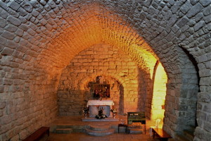
Synagogue Church, Nazareth (Seetheholyland.net)
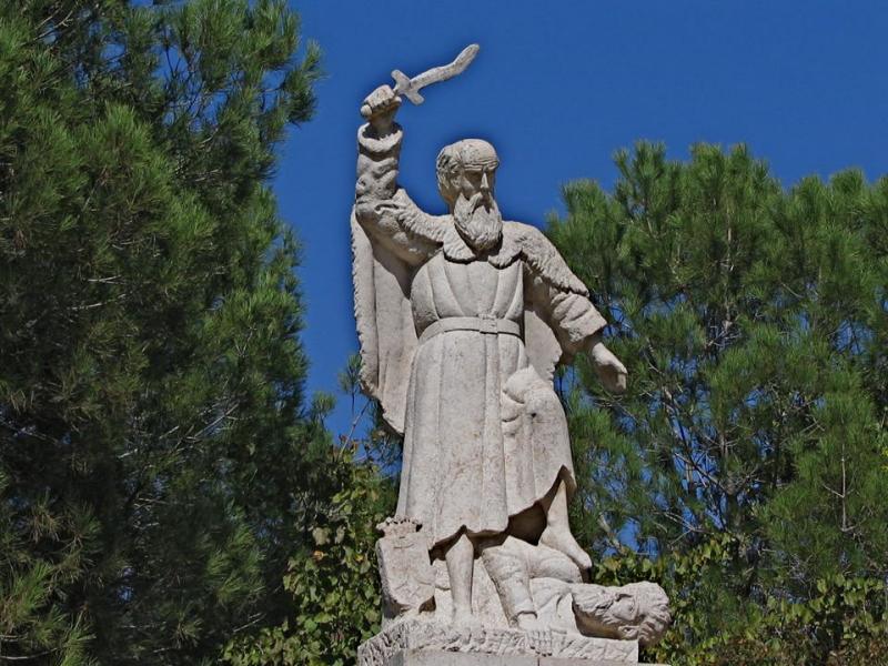
The church incorporates a Crusader building believed to be on the site of the synagogue in which Jesus preached. This simple stone room with a plain altar evokes the Gospel account (Luke 4:16-30) in which Jesus read the Messianic passage in Isaiah 61 (“The spirit of the Lord is upon me”) and proclaimed that he was the fulfilment of this promise.
The initial response was favourable, but when Jesus indicated that the proclamation of the Good News was to include the gentiles, his hearers were enraged and tried to throw up off a high cliff.
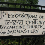
• Church of the Nutrition: Only around 100 metres from the Church of the Annunciation and 200 metres from the Church of St Joseph is a lesser-known site that may include the remains of Jesus’ childhood home.
Archaeological research in 2006-10 indicated that an underground complex beneath the convent of the Sisters of Nazareth in 6166 Street may be the location of the long-lost Byzantine-era Church of the Nutrition, believed to have been built over the house of Mary and Joseph, and where Jesus was nurtured.
Visits are by appointment (tel.: 972-4-6554304).
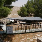
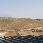
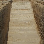
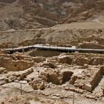
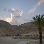
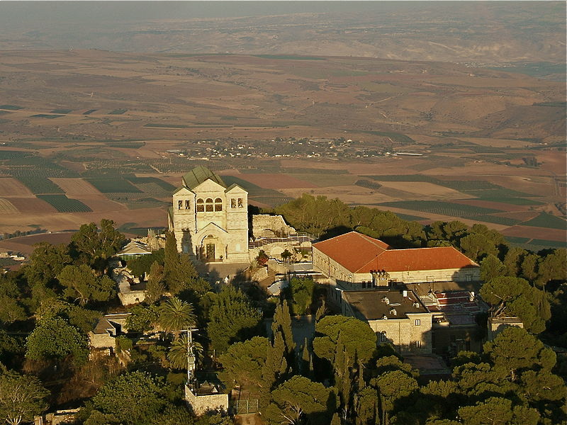
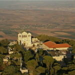
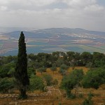
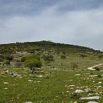
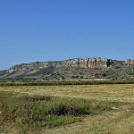
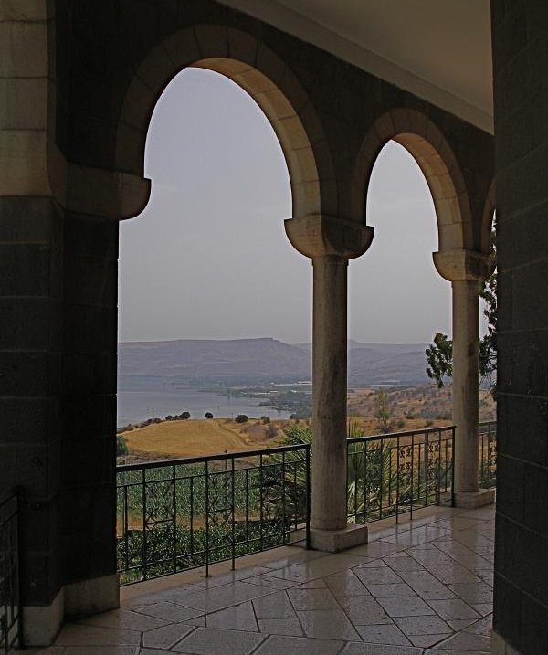
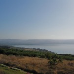
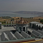
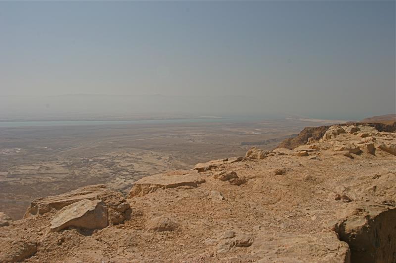
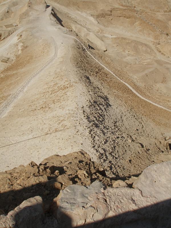
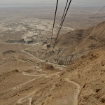
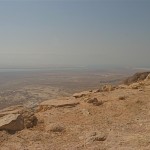
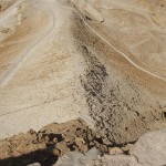
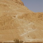
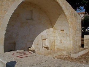
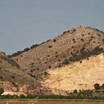
• Mount Precipice: South of Nazareth, on Mt Kedumim, is the cliff on which it is supposed the attempt was made to throw Jesus to his death. A road leads to the site and the view over the Jezreel Valley and Mount Tabor is spectacular.
On the mountain is a ruined church called Our Lady of the Fright Chapel. It commemorates the tradition that Mary, the mother of Jesus, fainted with fear as the crowd led her son to the cliff. But the Gospel says Jesus “passed through the midst of them and went on his way” (Luke 4:30).
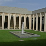
• Franciscan Museum: A courtyard on the northern side of the Church of the Annunciation provides access to a museum, on a lower level, displaying artefacts dating back to the 1st century. Of particular interest are five superbly carved capitals, discovered buried in a cave in 1908. Carved in France, they were to have crowned columns at the entrance of the Crusader church. They arrived after the Crusader kingdom had been defeated, so they were hidden.
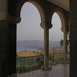
• Church of Jesus the Adolescent: This attractive French Gothic-style church, atop the western Nabi Sain ridge, offers a fine view over Nazareth’s rooftops and the Galilean hills. Above the altar is an impressive marble statue of Jesus as a boy of about 16.
In Scripture:
The Annunciation: Luke 1:26-38
The Holy Family settles in Nazareth: Matthew 2:23; Luke 2:39-40
Jesus preaches in the synagogue: Luke 4:16-30; Matthew 13:53-58; Mark 6:1-6;
“Can anything good come out of Nazareth?”: John 1:45-46
Open:
Church of the Annunciation: 8am-6pm
Church of St Joseph: 8am-6pm
St Gabriel’s Church: 8am-noon. 1-5pm; telephone first on Sunday
Synagogue Church: 8am-5pm (4pm Oct-Mar); closed Sunday
Nazareth Village: 9am-5pm (last tour begins 3.30pm); closed Sunday
-
-
Synagogue Church, Nazareth (Seetheholyland.net)
-
-
Modern Nazareth (© Israel Ministry of Tourism)
-
-
Mary’s Well, Nazareth (Seetheholyland.net)
-
-
Grotto of the Annunciation (Seetheholyland.net)
-
-
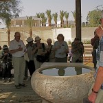
A pilgrim at the well in St Gabriel’s Church (Seetheholyland.net)
-
-
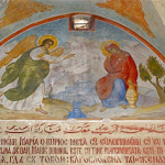
Fresco of Gabriel greeting Mary in St Gabriel’s Church, Nazareth (Seetheholyland.net)
-
-
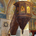
Ornate pulpit in St Gabriel’s Church, Nazareth (Seetheholyland.net)
-
-
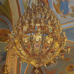
Chandelier in St Gabriel’s Church, Nazareth (Seetheholyland.net)
-
-
Inside St Gabriel’s Church at Nazareth (Seetheholyland.net)
-
-
Chapel of Mary’s Well in St Gabriel’s Church, Nazareth (Seetheholyland.net)
-
-
First-century Nazareth house discovered in 2009 (© Assaf Peretz / Israel Antiquities Authority)
-
-
First-century Nazareth house discovered in 2009, with Church of the Annunciation in background (© Assaf Peretz / Israel Antiquities Authority)
-
-
Church of St Joseph (Seetheholyland.net)
-
-
First-century dwelling in Nazareth (© Custodia Terrae Sanctae)
-
-
Looking down from Mount of Precipice (Seetheholyland.net)
-
-
Signs to Nazareth (Trish Vaughan / Seetheholyland.net)
-
-
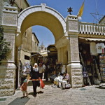
Souk in Nazareth (© Israel Ministry of Tourism)
-
-
Mount of Precipice (David Q. Hall)
-
-
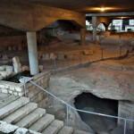
Ancient Jewish tombs at Sisters of Nazareth convent (© Israel Ministry of Tourism)
-
-
Remains of early Nazareth (© Custodia Terrae Sanctae)
-
-
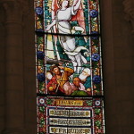
Archangel Gabriel appears to Mary (Seetheholyland.net)
-
-
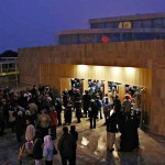
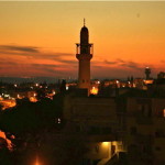
Nazareth by night (© Israel Ministry of Tourism)
References
Brownrigg, Ronald: Come, See the Place: A Pilgrim Guide to the Holy Land (Hodder and Stoughton, 1985)
Charlesworth, James H.: The Millennium Guide for Pilgrims to the Holy Land (BIBAL Press, 2000)
Dark, Ken: “Has Jesus’ Nazareth House Been Found?”, Biblical Archaeology Review, March-April 2015
Doyle, Stephen: The Pilgrim’s New Guide to the Holy Land (Liturgical Press, 1990)
Freeman-Grenville, G. S. P.: The Holy Land: A Pilgrim’s Guide to Israel, Jordan and the Sinai (Continuum Publishing, 1996)
Gonen, Rivka: Biblical Holy Places: An illustrated guide (Collier Macmillan, 1987)
Israel Antiquities Authority: “A Residential Building from the Time of Jesus was Exposed in the Heart of Nazareth”, media release, December 23, 2009
Joseph, Frederick: “Basilica of the Annunciation in Nazareth”, Holy Land, spring 2005
Kilgallen, John J.: A New Testament Guide to the Holy Land (Loyola Press, 1998)
Murphy-O’Connor, Jerome: The Holy Land: An Oxford Archaeological Guide from Earliest Times to 1700 (Oxford University Press, 2005)
Smith, David: “Where it happened”, The Jerusalem Post Christian Edition, December 2007
Walker, Peter: In the Steps of Jesus (Zondervan, 2006)
Wareham, Norman, and Gill, Jill: Every Pilgrim’s Guide to the Holy Land (Canterbury Press, 1996)
External links
Nazareth (Custodia Terrae Sanctae)
Nazareth (Catholic Encyclopedia)
Nazareth (Nazareth Cultural & Tourism Association)