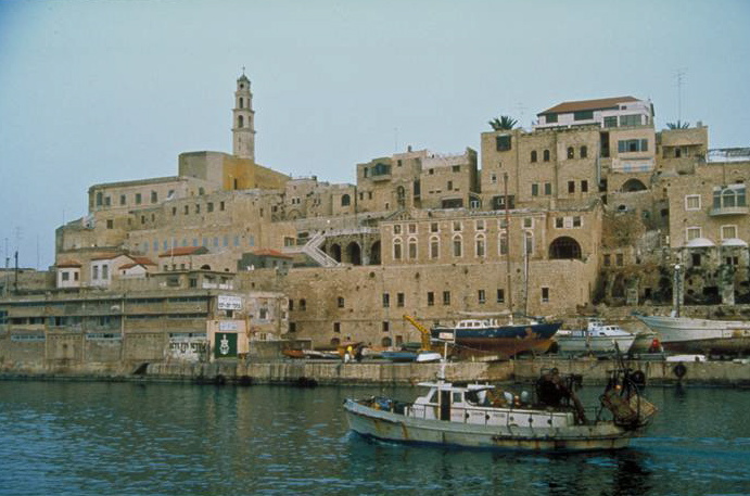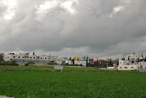
Israel
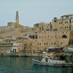
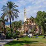
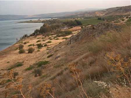
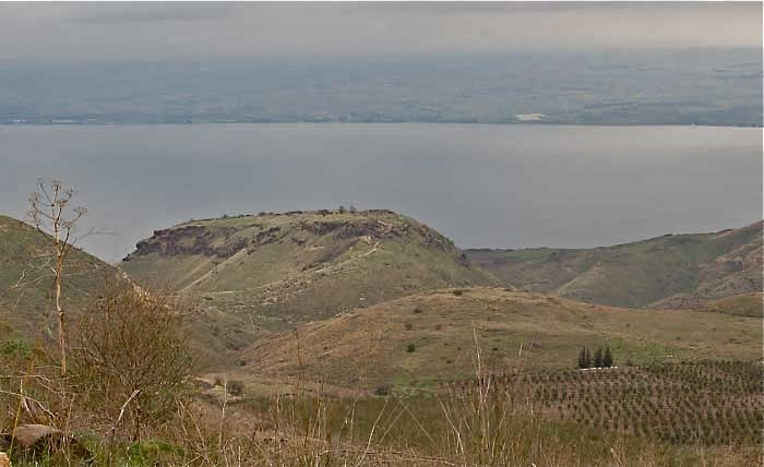
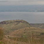
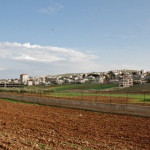
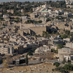
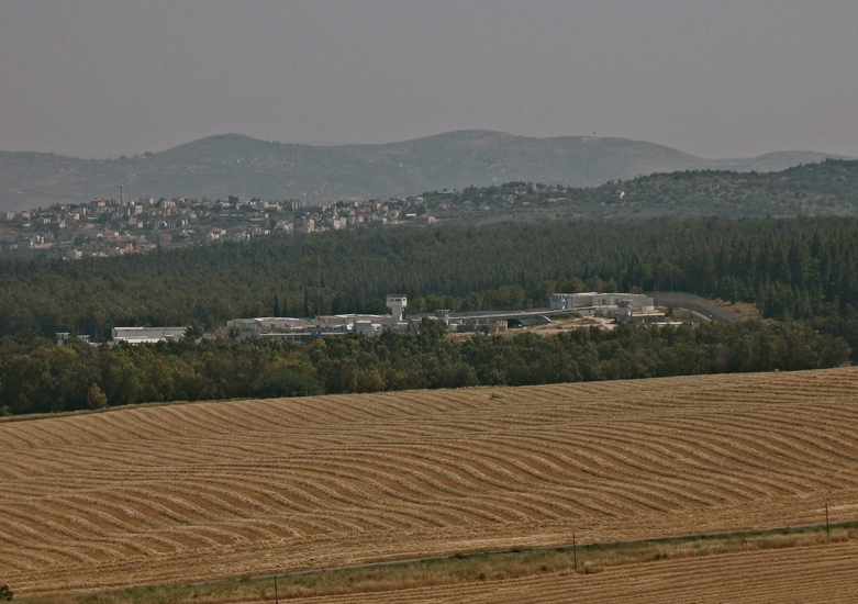
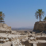
Magdala was a major first-century port on the Sea of Galilee, a centre of trade and commerce, and an exporter of salted fish to markets as far away as Europe. Archaeological discoveries early in the 21st century have made it a burgeoning pilgrimage destination.
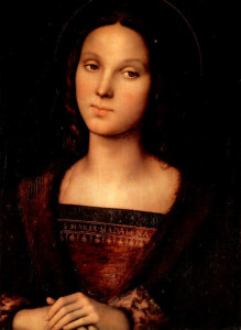
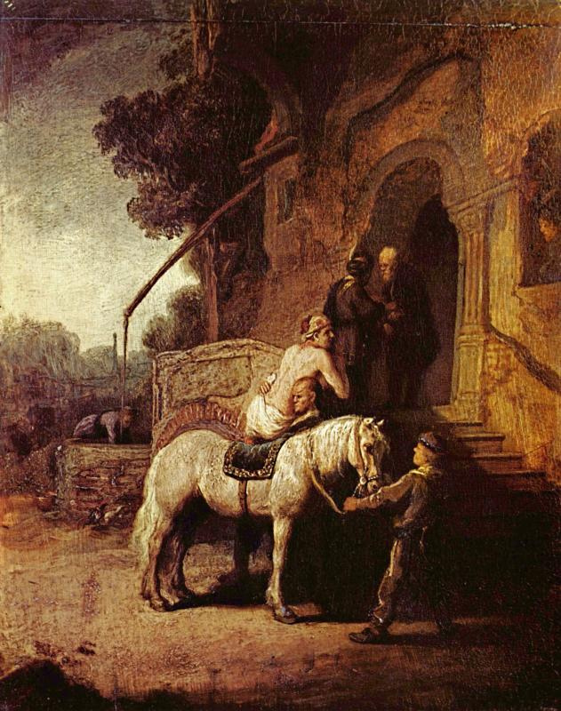
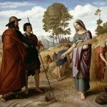
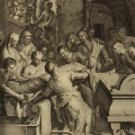
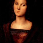
Mary Magdalene by Pietro Perugino (Palazzo Pitti, Florence)
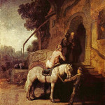
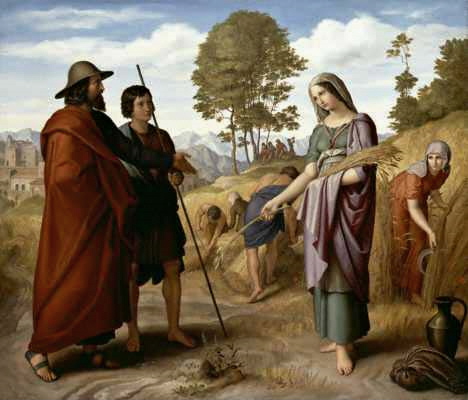
Magdala’s fame down the centuries rested on one notable person, Mary Magdalene. This enigmatic woman — revered as a saint by the Orthodox, Catholic, Anglican and Lutheran churches — was one of the few persons named in the Gospels as being present at Christ’s crucifixion and the first recorded witness of his Resurrection.
Whether she lived in Magdala or was simply born there is unknown, but she was apparently a wealthy woman.
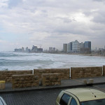
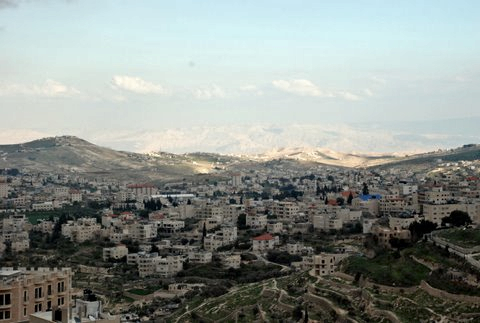
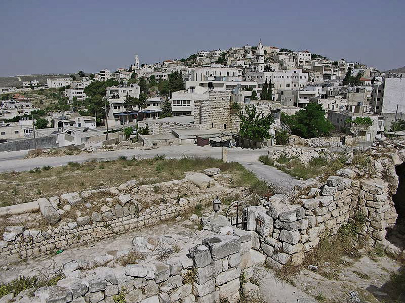
The city, on the western side of the Sea of Galilee between Tiberias and Capernaum, is mentioned only once in the New Testament. The Gospel of Matthew (15:39) says Jesus went there by boat — but even this reference is uncertain, since some early manuscripts give the name as Magadan.
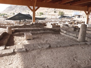
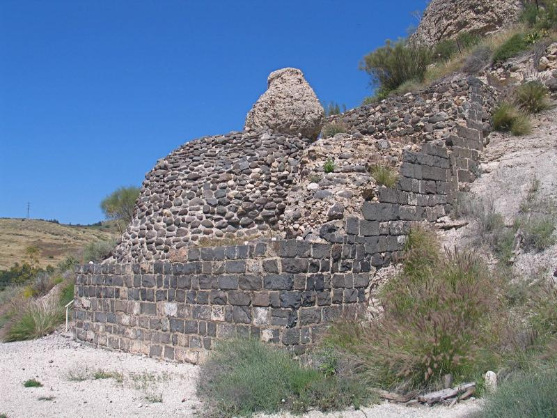
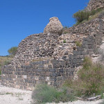
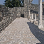
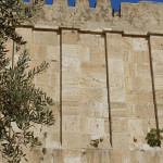
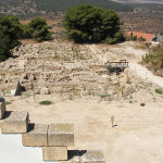
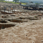
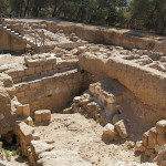
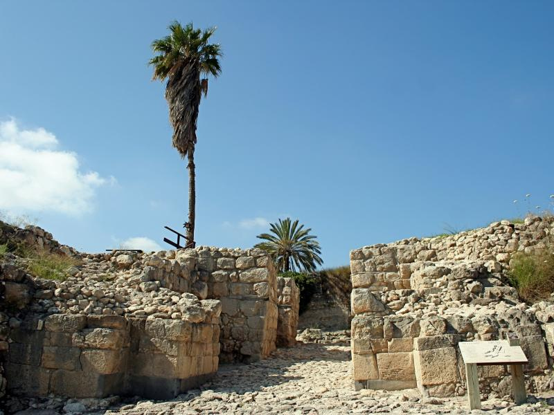
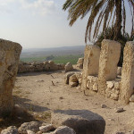
Synagogue uncovered at Magdala (Seetheholyland.net)
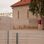
Both Matthew and Mark say Jesus preached in synagogues “throughout Galilee”, and Magdala was only 10 kilometres from Capernaum, where he based his ministry.
The Jewish historian Josephus says Magdala had a population of 40,000 people and a fleet of 230 boats about 30 years after Jesus died.
Mary was called ‘apostle of the apostles’
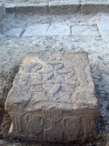
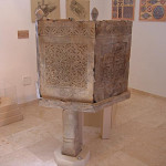
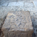
Carved stone decorated with menorah (© Moshe Hartal, Israel Antiquities Authority)
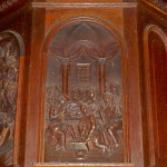
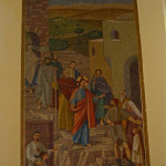
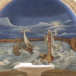
All four Gospels refer to a close follower of Jesus called Mary Magdalene. Luke says she had been cured of “seven demons” and he lists her first among the women who accompanied Jesus and supported his ministry from their own resources (8:2-3).
After Jesus died she was one of the women who took spices for anointing to the tomb. They found the tomb empty, but “two men in dazzling clothes” gave them the news that Jesus had risen. (Luke 24:1-12)
Later Jesus appeared to Mary. At first she thought he was the gardener, but she recognised him when he spoke her name. Then she announced to the disciples, “I have seen the Lord”. (John 20:1-18)
By the 3rd century, Mary Magdalene was described by the theologian Hippolytus of Rome as the “apostle of the apostles”.
Identity became confused
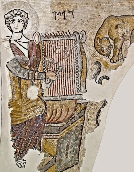
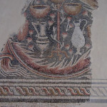
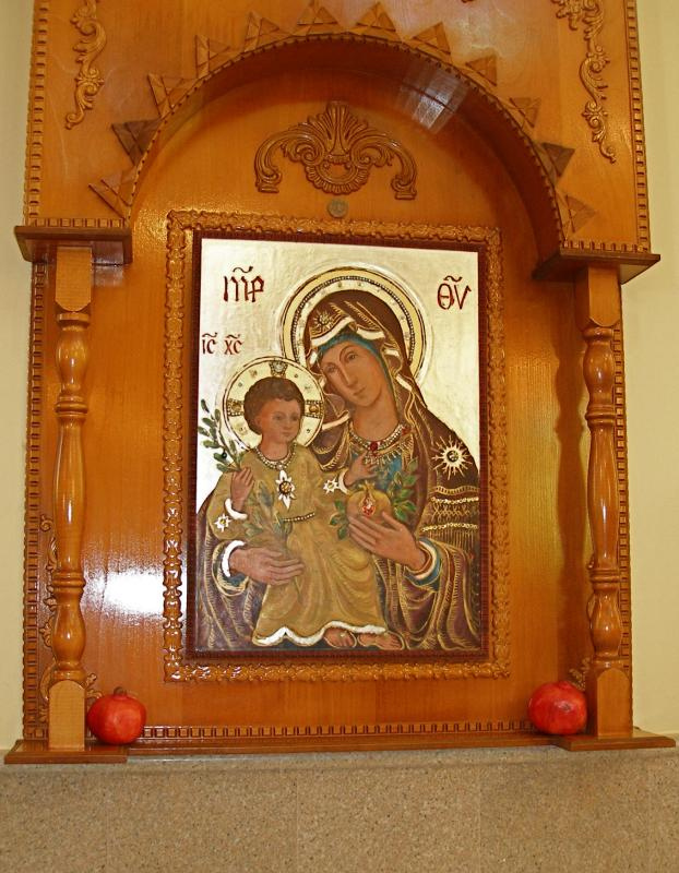
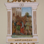
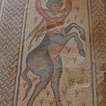
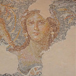
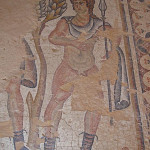
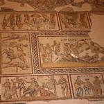
Jesus casting seven demons from Mary Magdalene, mosaic in Magdala church (Seetheholyland.net)
But Mary’s identity became confused in 591. In that year Pope Gregory the Great gave a sermon which expressed his belief that the Mary who had been cured of seven demons was the same person as the penitent prostitute who anointed Jesus’ feet with ointment (Luke 7:37-50) and Mary of Bethany, the sister of Martha and Lazarus, who anointed Jesus’ feet with perfume (John 12:3-8).
A revision of the Catholic calendar of saints in 1969 reverted to the Eastern tradition of distinguishing Mary Magdalene from the reformed prostitute. By then, however, this persona had endeared her to artists down the centuries.
More recently, Dan Brown’s The Da Vinci Code mined a rich lode of pseudo-Christian texts to present Mary Magdalene as the wife of Jesus and co-founder of an arcane dynasty at odds with the institutional Church and its beliefs.
And what really became of Mary? A Greek tradition has her dying in Ephesus, with her relics preserved in Constantinople. A French tradition says she converted Provence to Christianity and her relics ended up in Vézelay Abbey in Burgundy, where they are still venerated.
City fought Romans on the sea
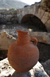
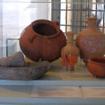
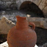
Single-handled jug found at Magdala, dating to the Roman period (© Custodia Terrae Sanctae)
The city that gave its name to Mary Magdalene became a fortified base for rebels during the First Jewish Revolt in AD 66-70, even engaging the Romans in a disastrous sea battle.
According to the historian Josephus — who commanded the Jewish forces in Galilee — the Sea of Galilee became red with blood and “full of dead bodies”. Of the survivors, emperor Vespasian sent 6000 to build a canal in Greece and ordered more than 30,000 to be sold as slaves.
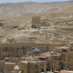
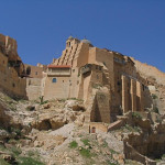
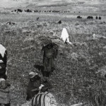
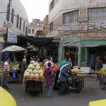
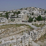
Magdala continued as a much-reduced Jewish village during Roman and Byzantine times, and in more recent centuries as an Arab village until 1948. Mark Twain visited it in 1867, calling it “thoroughly ugly, and cramped, squalid, uncomfortable, and filthy”.
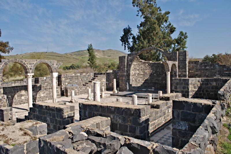
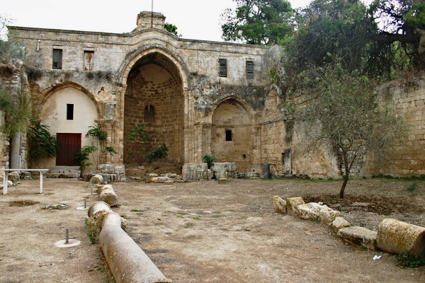
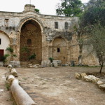
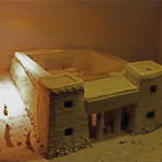
In the 4th century a church was built on the reputed site of Mary Magdalene’s house. Destroyed in the 7th century, it was rebuilt by Crusaders in the 12th century but was converted into a stable when the Crusaders were expelled from the Holy Land.
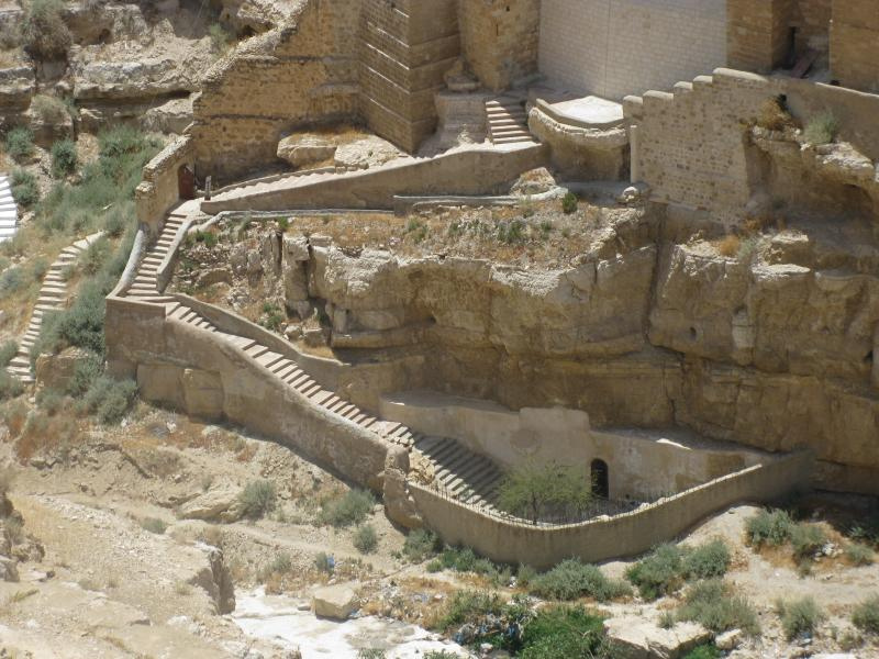
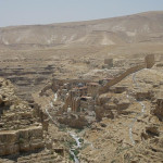
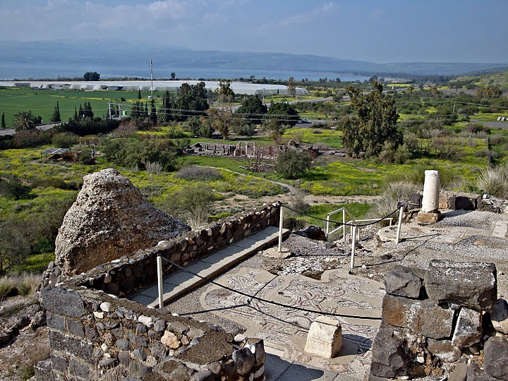
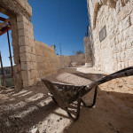
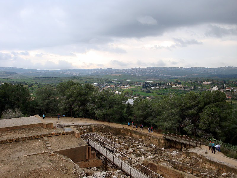
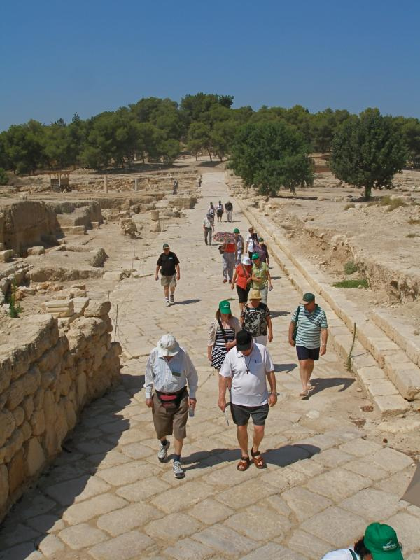
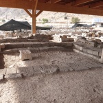
Port and city uncovered
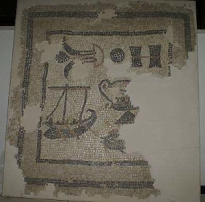
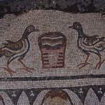
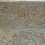
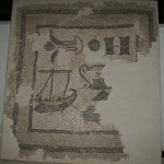
Mosaic including boat discovered at Magdala (© Magdala Project)
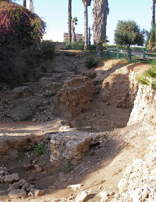
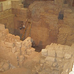
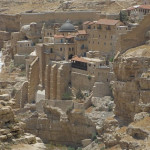
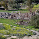
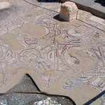
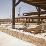
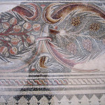
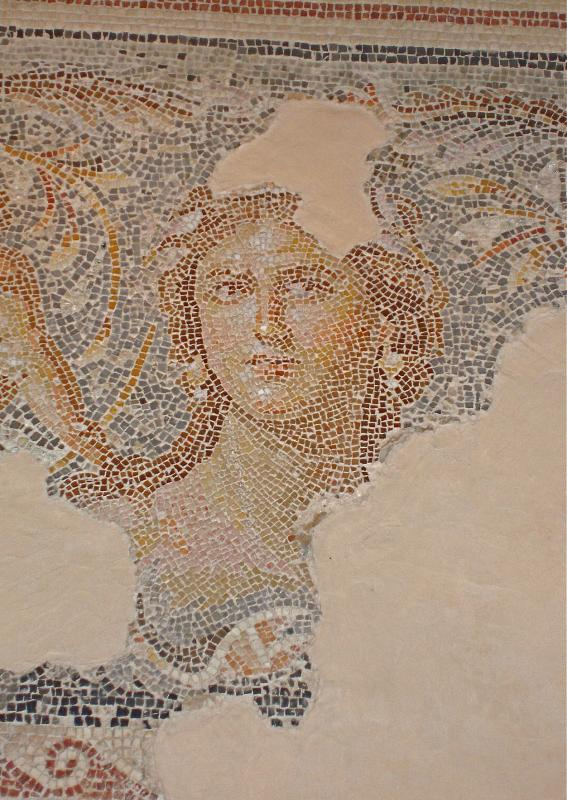
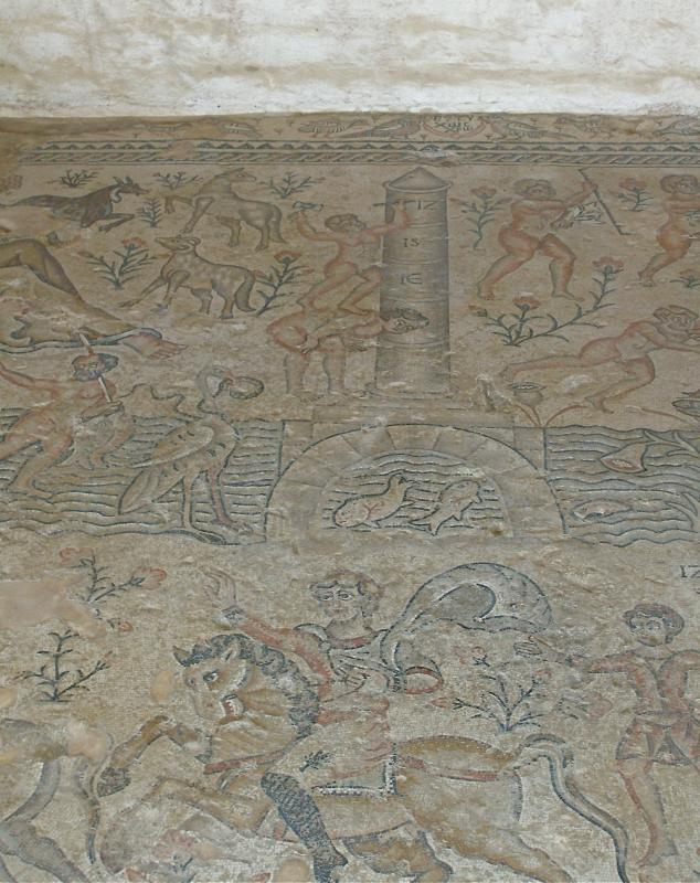
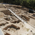
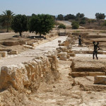
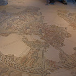
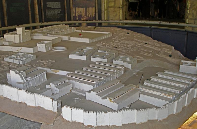
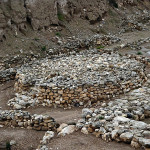
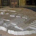
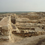
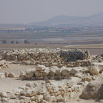
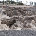
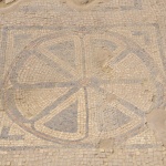
Beginning in the 1960s, Franciscan archaeologists discovered Magdala’s ancient port and a city grid, with paved streets, water canals, a marketplace, villas and mosaics — one depicting a sailing boat.
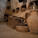
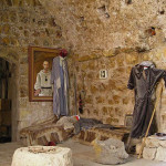
Buried in the mud covering a thermal bath complex were ceramic crockery, perfume jars, jewellery, hairbrushes and combs, and bronze applicators for make-up.
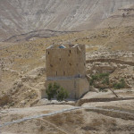
The discovery of the massive foundations of a tower may account for the city’s name. Both Magdala in Aramaic and Migdal in Hebrew mean “tower”.
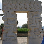
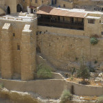
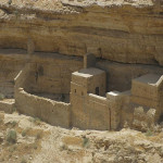
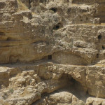
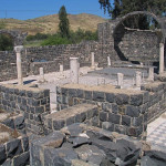
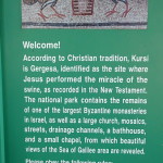
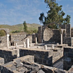
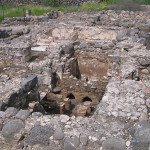
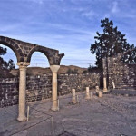
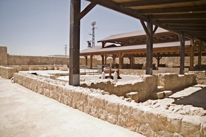
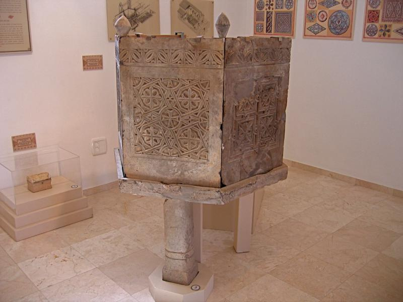
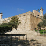
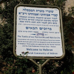
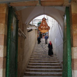
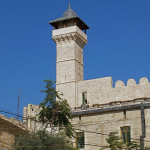
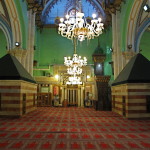
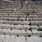
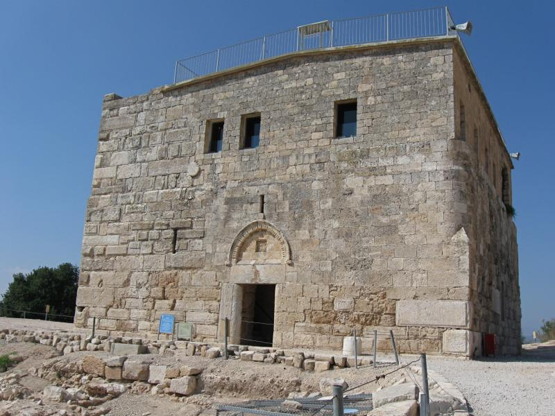
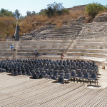
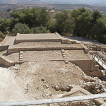
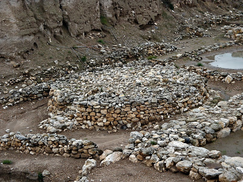
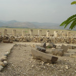
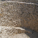
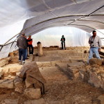
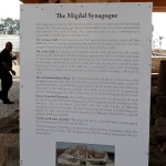
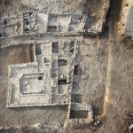
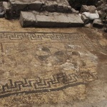
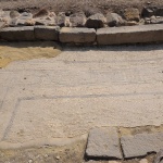
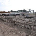
First-century synagogue identified
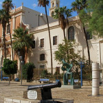
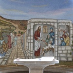
More archaeological remains were uncovered in 2009 on an adjacent property newly acquired by the Legion of Christ to establish a hotel, institute for women and retreat centre. The Legion, a Catholic congregation, manages the Notre Dame Center in Jerusalem.
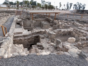
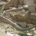
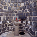
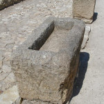
Ritual baths at Magdala (Seetheholyland.net)
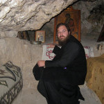
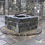
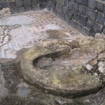
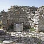
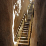
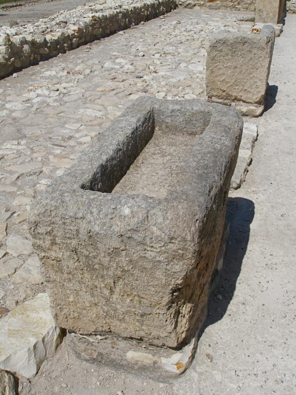
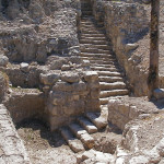
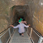
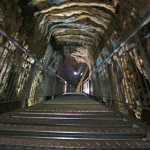
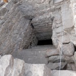
Three interconnected ritual baths were discovered, the first found in Israel using groundwater from springs — which for purification purposes was considered “living water” — rather than rainwater.
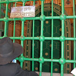
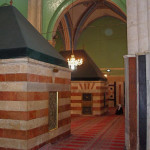
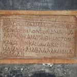
In the remains of one building, under a thin layer of soil, excavators found a stone block engraved with motifs including a seven-branched menorah, the type of lampstand used in the Temple. This significant find led to the identification of the building as a synagogue.
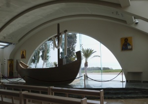
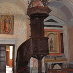
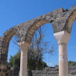
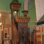
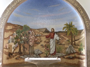
Boat-shaped altar in Duc in Altum church at Magdala (Seetheholyland.net)
Unlike other first-century synagogues found in Galilee, the Magdala building had ornate mosaics and frescoes.
In 2021 a second synagogue dating from the Second Temple period was found at Magdala.
It was smaller and not so ornate as the first one, with an earthen floor that had been plastered. Archaeologists believe both existed at the same time, from about 50 BC until AD 67.
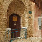
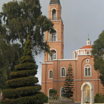
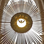
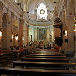
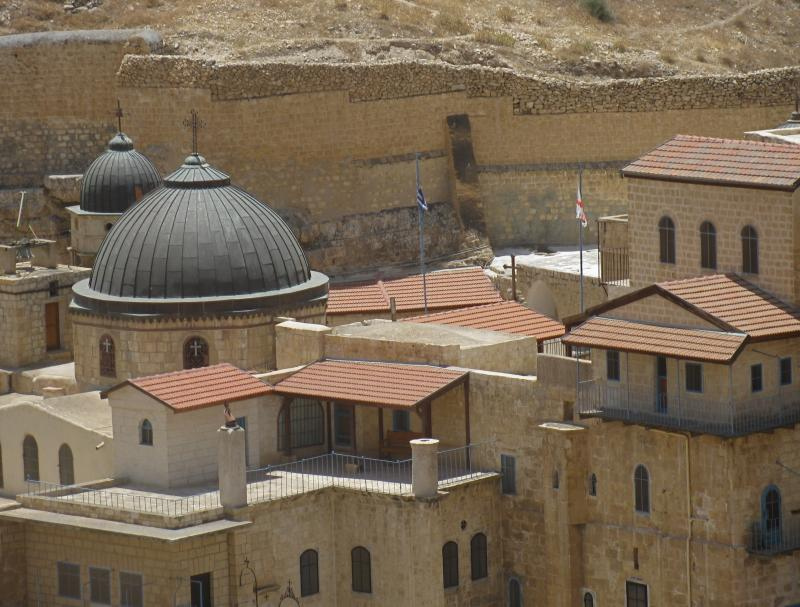
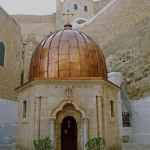
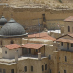
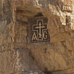
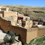
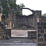
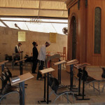
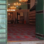
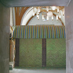
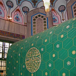
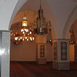
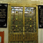
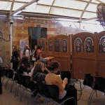
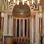
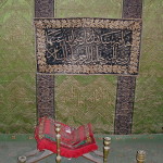
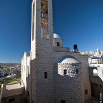
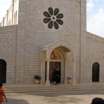
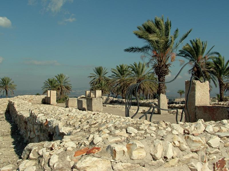
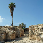
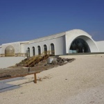
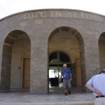
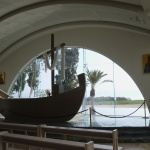
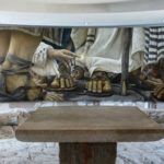
In 2014 the Legion opened a new church on the site, simple in design but also rich in mosaics and murals, focusing especially on women in the Bible. It is named Duc in Altum (Latin for “Put out into the deep”, from Christ’s words in Luke 5:4). The altar is in the shape of a first-century boat, standing in front of an infinity pool leading the eye to the lake beyond.
In the crypt is an ecumenical worship space, called the Encounter Chapel, paved with stones from Magdala’s first-century marketplace.
Jesus Boat found nearby
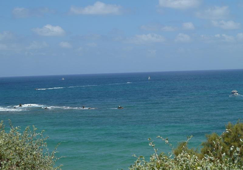
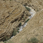
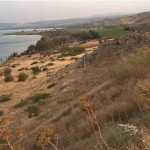
Magdala’s port, now submerged in the beach, had a stone breakwater that extended into the sea and curved around the harbour to protect boats from the sudden storms that buffet the Sea of Galilee.
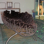
In 1986 the hull of the so-called Jesus Boat, a fishing boat old enough to have been in use during the time of Christ, was found in the lakebed near the ancient port of Magdala.
In Scripture:
Jesus visits Magdala by boat: Matthew 15:39
Mary cured of seven demons: Luke 8:2
Mary supports Jesus’ ministry: Luke 8:3
Mary goes to Jesus’ tomb: Matthew 28:1-10; Mark 16:1-8; Luke 24:1-12; John 20:1-18
Mary announces the Resurrection to the disciples: John 20:18
Administered by: Legion of Christ
Tel.: +972 2 627-9111
Magdala Center: +972-057-226-1469 Tel/Fax: +972-04-620-9900
Open: 8am-6pm
-
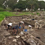
- Excavation of the Magdala synagogue (© Jim Joyner)
-
- Carved stone decorated with menorah (© Moshe Hartal, Israel Antiquities Authority)
-
- Synagogue uncovered at Magdala (Seetheholyland.net)
-
- Mary Magdalene by Pietro Perugino (Palazzo Pitti, Florence)
-
- Ritual baths at Magdala (Seetheholyland.net)
-
- Ritual bath at Magdala (Seetheholyland.net)
-
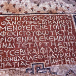
- Notice describing synagogue at Magdala (Seetheholyland.net)
-
- Mosaic including boat discovered at Magdala (© Magdala Project)
-
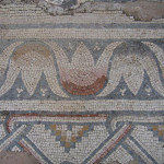
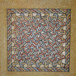
- Mosaic floor with rosette design found at Magdala (© Magdala Center – Universidad Anáhuac México Sur)
-
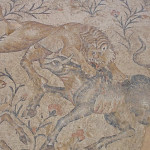
- Mosaic floor discovered at Magdala (© Orientalizing)
-
- Floor mosaic discovered at Magdala (© Orientalizing)
-
- Excavations in the ruins of a Magdala villa (© Custodia Terrae Sanctae)
-
- Single-handled jug found at Magdala, dating to the Roman period (© Custodia Terrae Sanctae)
-
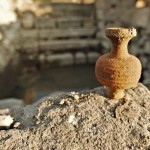
- Small flask found at Magdala, of a kind typically used for perfume (© Custodia Terrae Sanctae)
-
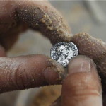
- Roman coin found at Magdala (© Custodia Terrae Sanctae)
-
- Duc in Altum church at Magdala (© Martin Bain / Seetheholyland.net)
-
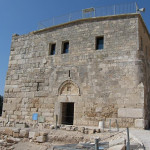
- Entrance to Duc in Altum church at Magdala (© Martin Bain / Seetheholyland.net)
-
- Boat-shaped altar in church at Magdala (Seetheholyland.net)
-
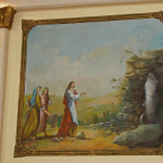
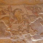
- Jesus rescuing Peter from the Sea of Galilee, mosaic in Magdala church (Seetheholyland.net)
-
- Jesus casting seven demons from Mary Magdalane, mosaic in Magdala church (Seetheholyland.net)
-
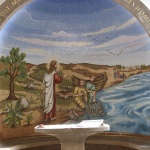
- Jesus calling fishermen to be disciples, mosaic in Magdala church (Seetheholyland.net)
-
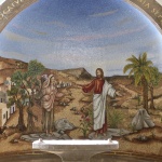
- Jesus bringing the daughter of Jairus back to life, mosaic in Magdala church (Seetheholyland.net)
-
- Encounter Chapel mural, by Chilean artist Daniel Cariola, depicts the woman who sought healing by touching the hem of Jesus’ cloak in Mark 5:25-34 (Seetheholyland.net)
-
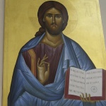
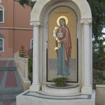
- Icon of Jesus in Magdala church (© Mariette Poortman / Seetheholyland.net)
-
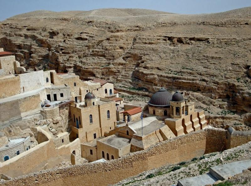
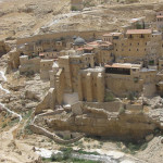
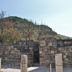
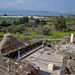
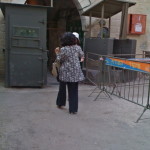
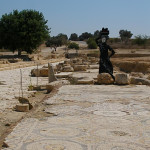
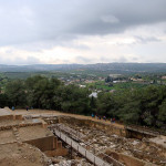
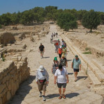
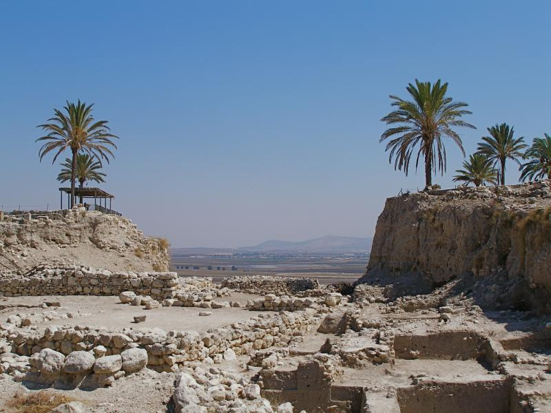
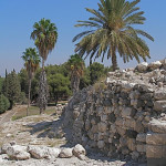
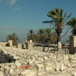
- Archaeological park at Magdala (Seetheholyland.net)
-
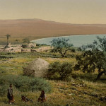
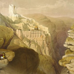
- Magdala around 1890-1900 (Library of Congress)
-
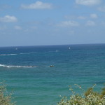
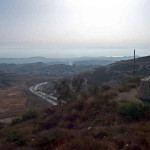
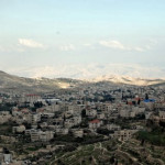
- Sea of Galilee from Magdala, with Tiberias in the distance at right (Seetheholyland.net)
-
- Ancient fishing boat found near Magdala (Seetheholyland.net)
References
Bagatti, Bellarmino: Ancient Christian Villages of Galilee (Studium Biblicum Franciscanum, 1999).
Caffulli, Giuseppe: “Precious Fragrances”, Holy Land Review (Spring 2009)
Charlesworth, James H.: The Millennium Guide for Pilgrims to the Holy Land (BIBAL Press, 2000)
Corbett, Joey: “New Synagogue Excavations In Israel and Beyond”, Biblical Archaeological Review (July/August 2011)
Freeman-Grenville, G. S. P.: The Holy Land: A Pilgrim’s Guide to Israel, Jordan and the Sinai (Continuum Publishing, 1996)
Gonen, Rivka: Biblical Holy Places: An illustrated guide (Collier Macmillan, 1987)
Lofenfeld Winkler, Lea, and Frenkel, Ramit: The Boat and the Sea of Galilee (Gefen Publishing House, 2010)
Merk, August: “Magdala”, The Catholic Encyclopedia (Robert Appleton Company, 1910)
Nun, Mendel: “Ports of Galilee”, Biblical Archaeology Review (July/August 1999)
Reich, Ronny, and Zapata Meza, Marcela: “A Preliminary Report on the Miqwa’ot of Migdal”, Israel Exploration Journal, vol. 64, no. 1, 2014
Schuster, Ruth: “In Hometown of Mary Magdalene, Israeli Archaeologists Find Second Synagogue”, Haaretz (December 12, 2021)
Shanks, Hershel: “Major New Excavation Planned for Mary Magdalene’s Hometown”, Biblical Archaeology Review (September/October 2007)
Twain, Mark: The Innocents Abroad (Wordsworth, 2010)