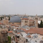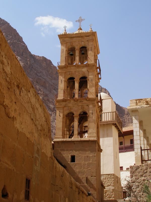
Jerusalem
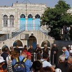
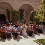
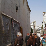
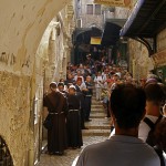
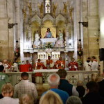
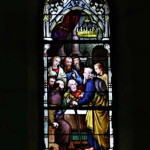
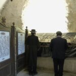
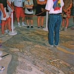
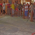
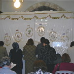
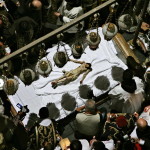
Pilgrims at the Stone of Anointing (Seetheholyland.net)
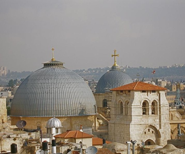
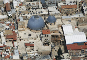
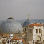
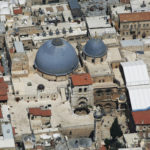
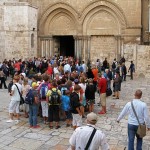
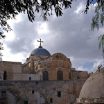
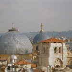
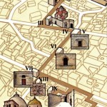
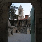
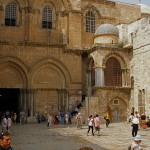
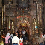
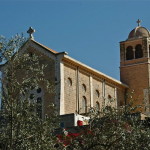
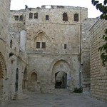
The Church of the Holy Sepulchre in the Old City of Jerusalem — venerated as the place where Jesus Christ died and rose again — contains a bewildering conglomeration of 30-plus chapels and worship spaces. There are no helpful signs.
This article describes the most significant areas that are not covered in the main Church of the Holy Sepulchre article.
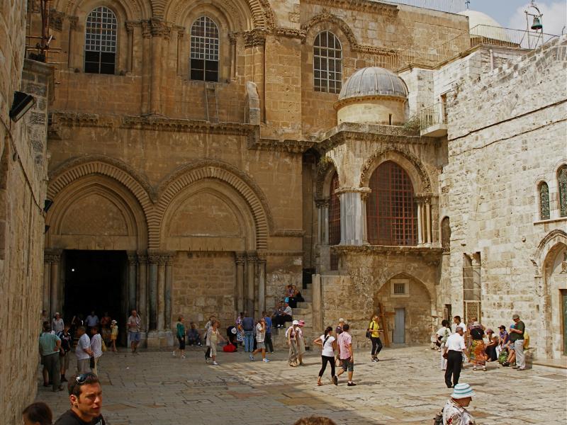
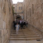
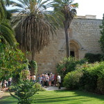
The description begins at the main door (on the south side of the church) and circles the church in a roughly clockwise manner.
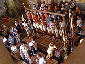
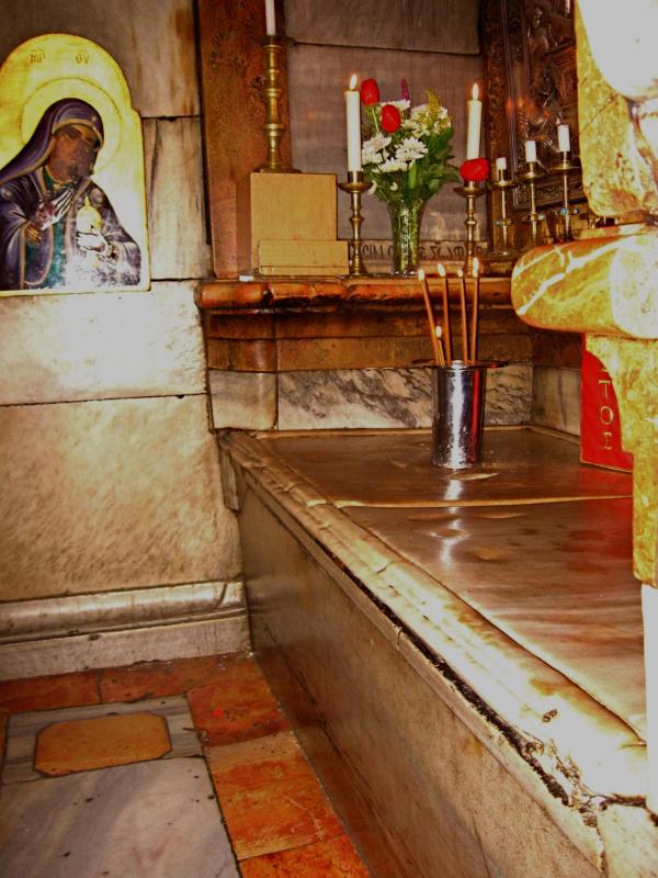
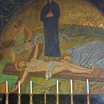
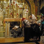
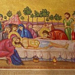
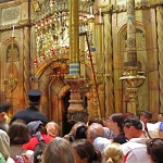
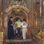
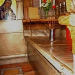
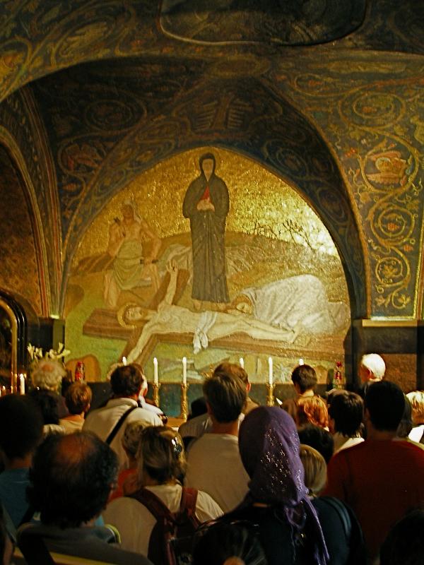
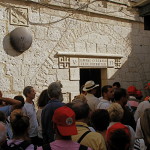
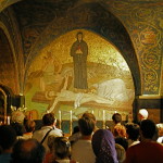
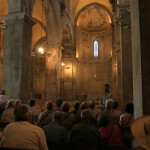
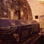
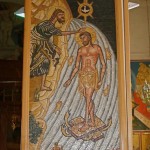
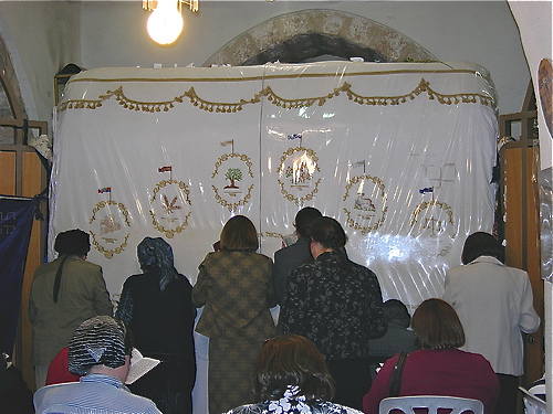
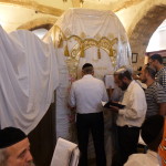
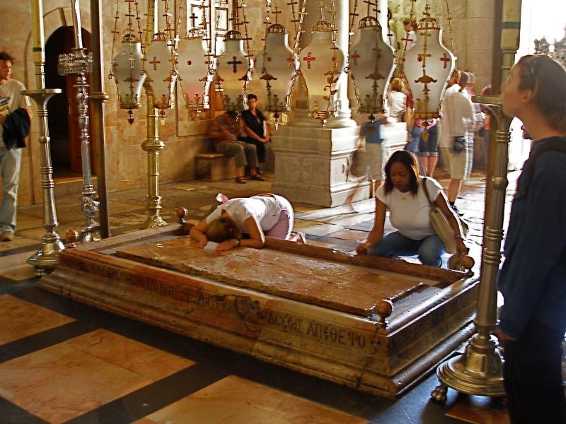
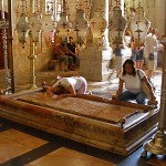
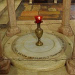
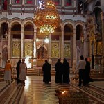
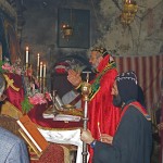
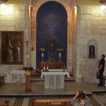
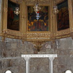
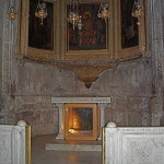
Immediately inside the main door is the Stone of Anointing, a slab of reddish stone flanked by candlesticks and overhung by a row of eight lamps. It commemorates the place where the body of Jesus was prepared for burial (though this stone dates only from 1810). It belongs
jointly to the Greek Orthodox, Catholics
and Armenian Orthodox.

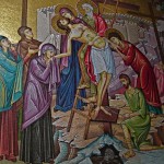
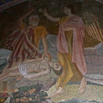
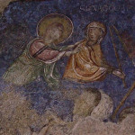
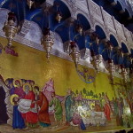
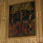
On the wall behind the stone, a Greek mosaic depicts (from right to left) Christ being taken down from the cross, his body being prepared for burial, and his body being taken to the tomb.
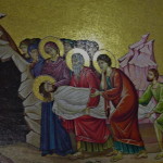
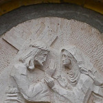
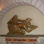
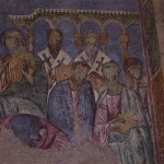
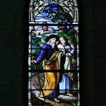
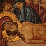
To the left of the Stone of Anointing is a small circular slab with four pillars surmounted by a marble canopy. This shrine is the Armenian Station of the Holy Women. It commemorates Jesus’ mother and her companions who viewed the crucifixion.
On the wall behind the shrine, a large mosaic recalls the scene. The Armenians’ sacristy is on the left.
‘Little house’ encloses tomb
Dome above edicule of the Tomb of Christ (Seetheholyland.net)
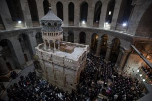
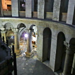
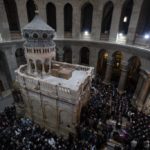
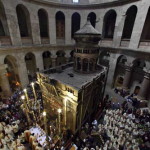
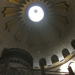
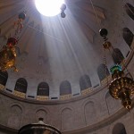
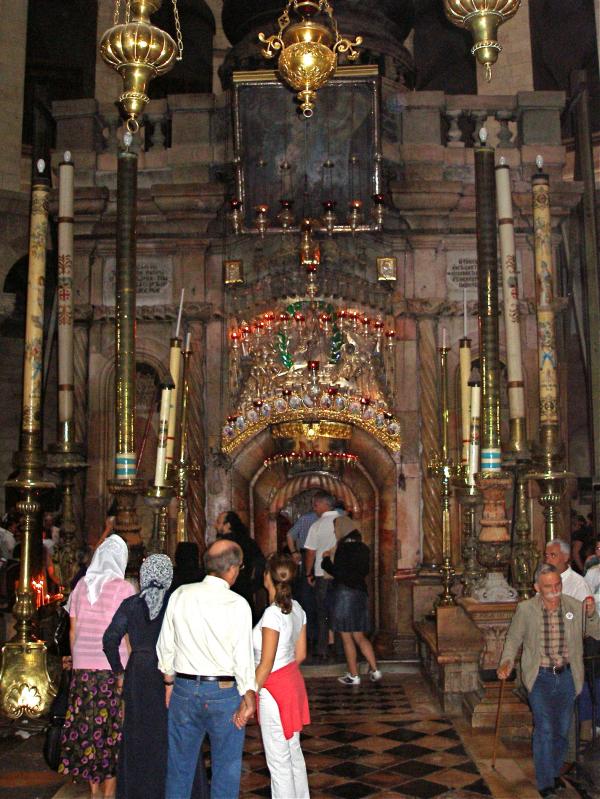
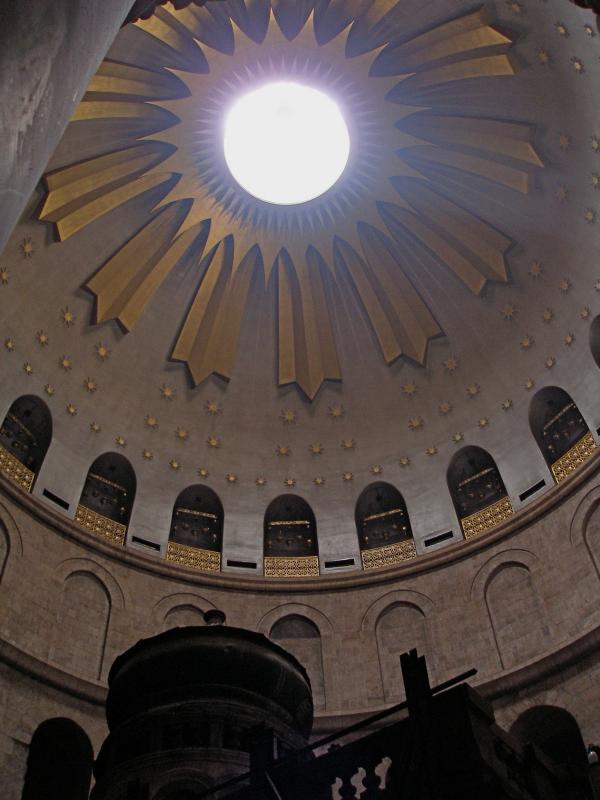
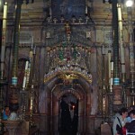
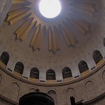
From this position the Tomb of Christ can be seen. A stone edicule (“little house”) encloses the sepulchre where it is believed Jesus lay buried for three days — and where he rose from the dead. (It is described in more detail in the Church of the Holy Sepulchre article.)
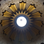
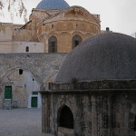
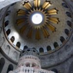
The lofty circular stone structure encompassing this whole area is known as the Rotunda. Above it is a huge dome decorated with a starburst of light.
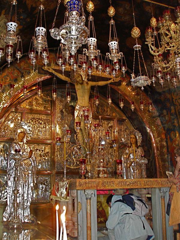
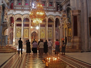
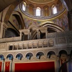
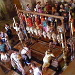
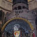
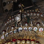
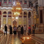
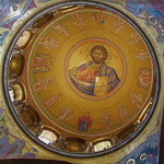
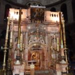
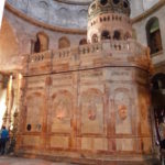
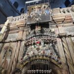
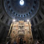
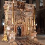
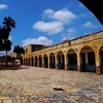
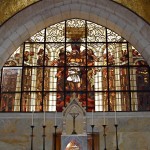
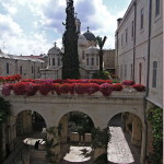
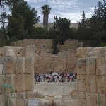
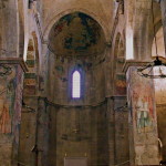
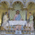
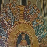
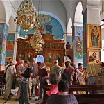
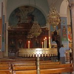
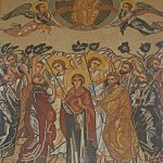
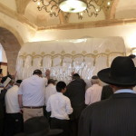
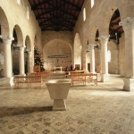
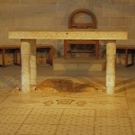
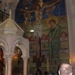
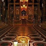
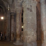
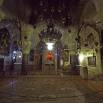
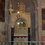
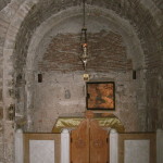
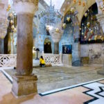
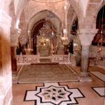
Opposite the entrance to the Tomb, a triumphal arch built by the Crusaders leads to the basilica’s central worship space, the Katholikon. Originally the choir of the 12th-century Crusader church, it is now the Greek Orthodox cathedral.
A highly decorated screen called the iconostasis partially hides the altar from view. On the polished marble floor stands a goblet marking the “omphalos” (navel), the legendary centre of the earth. There are thrones for the patriarch of Jerusalem and the patriarch of Antioch.
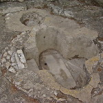
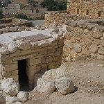
Jewish tomb from 1st century
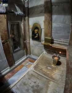
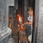
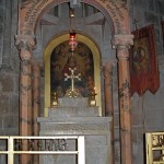
Behind the Tomb is a tiny Coptic chapel attached to the edicule.
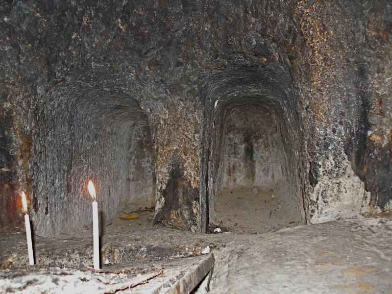
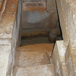
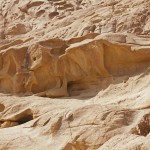
First-century Jewish tombs adjacent to Chapel of St Joseph of Arimathea and St Nicodemus (Seetheholyland.net)
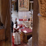
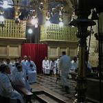
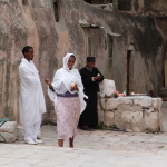
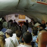
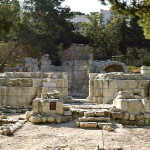
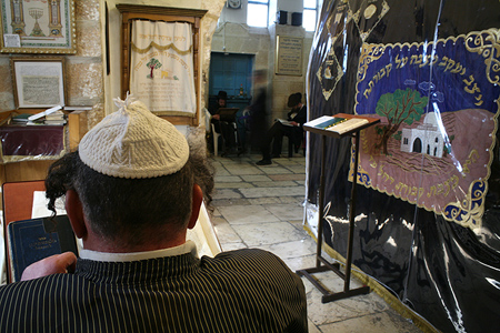
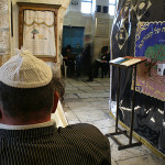
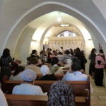
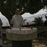
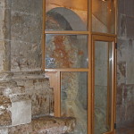
Directly opposite this tiny chapel, walk between two of the pillars of the Rotunda into a dilapidated room, the Syriac Orthodox Chapel of St Joseph of Arimathea and St Nicodemus. On Sundays and feast days it is furnished for the celebration of Mass.
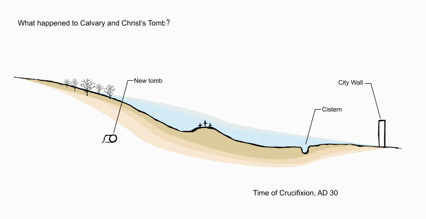
On the far side of the chapel is the low entrance to two complete 1st-century Jewish tombs. Since Jews always buried their dead outside the city, this proves that the Holy Sepulchre site was outside the city walls at the time of the crucifixion. There is a tradition that Joseph of Arimathea and Nicodemus were buried here.

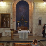
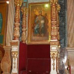
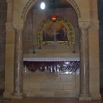
Catholic Chapel of the Apparition
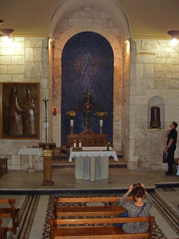
Chapel of the Apparition of Jesus to his Mother (Seetheholyland.net)
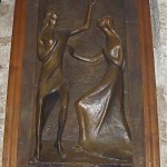
Returning to the Rotunda, the area to the left (on the north side of the church) belongs to the Catholics. There is an altar dedicated to St Mary Magdalene, then double bronze doors (donated by the people of Australia in 1982) lead to the Franciscan Chapel of the Apparition. It commemorates the ancient tradition that Jesus appeared to his mother after his Resurrection, an event not found in the Gospels.
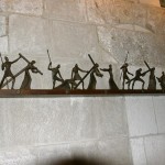
On the right inside the entrance of the chapel is a section of a column, said to be the one to which Jesus was tied when he was scourged. Along the far wall, scenes of the Way of the Cross are depicted in wrought iron.
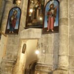
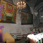
Greek and Armenian chapels
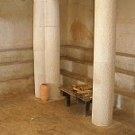
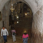
Returning past the altar of St Mary Magdalene, turn left into a rather dark gallery, known as the Arches of the Virgin (commemorating a belief that Mary made visits to her son’s Tomb). It contains pillars and other remains from earlier constructions.
Prison of Christ chapel in Church of the Holy Sepulchre (Seetheholyland.net)
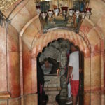
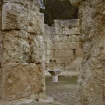
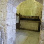
At the far end, on the left, is a small Greek chapel called the Prison of Christ, apparently based on a belief that he was temporarily confined here before the crucifixion.
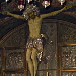
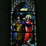
Further around the semi-circular aisle are two chapels on the left. The first is the Greek Chapel of St Longinus. It is dedicated to the Roman soldier who pierced Jesus’ side with his spear and then accepted him as the Son of God.
Further along is the Armenian Chapel of the Division of the Raiment, recalling that the Roman soldiers divided Christ’s clothes among them.
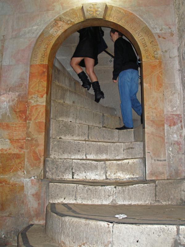
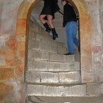
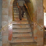
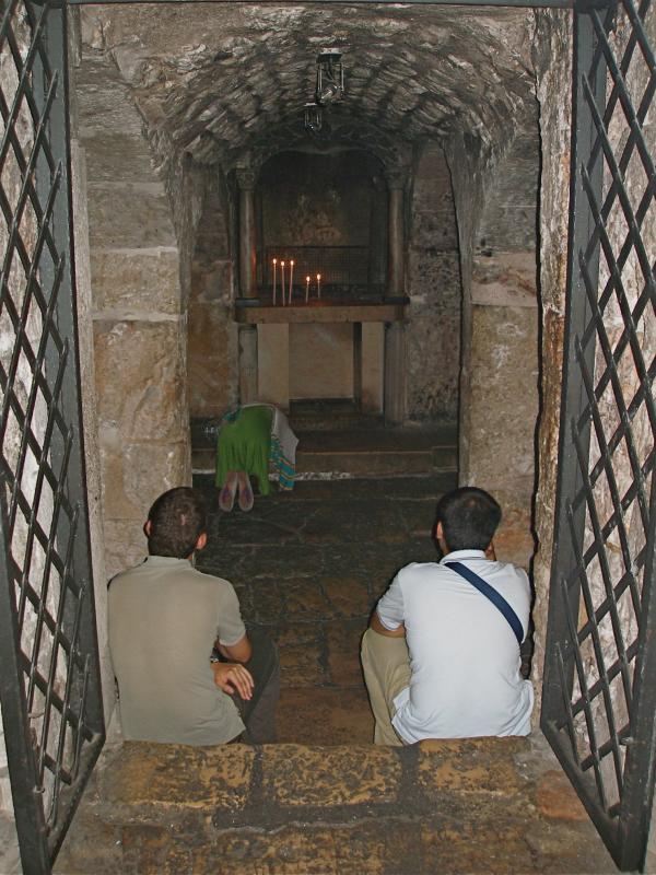
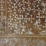
Next on the left is a stairwell, its walls inscribed with hundreds of crosses left by pilgrims in past centuries.
Two chapels are underground
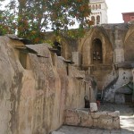
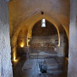
The 29 steep steps descend to the underground Armenian Chapel of St Helena. This was the crypt of the emperor Constantine’s 4th-century basilica and is therefore the oldest complete part of the entire building.
The Armenians have re-named the chapel to honour their national patron, St Gregory the Illuminator. The left-hand altar is dedicated to St Dismas (the Good Thief).
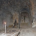
In an ancient quarry behind a wrought iron gate (open only with permission from the Armenians) is the Chapel of St Vartan and the Armenian Martyrs.
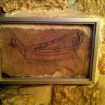
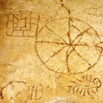
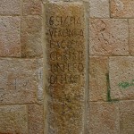
On a stone in a second-century wall is a drawing of a sailing vessel with a Latin inscription usually rendered as DOMINE IVIMUS (“Lord, we will go”). One interpretation is that it is a pilgrim’s reference to Psalm 122 (“I was glad when they said to me, “Let us go to the house of the Lord’.”
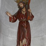
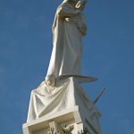
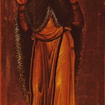
Statue of St Helena holding the Cross of Christ, in Chapel of the Finding of the Cross (Seetheholyland.net)
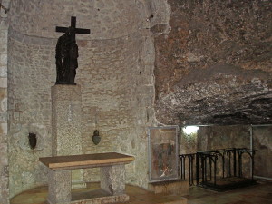
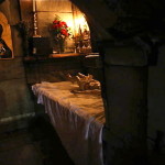
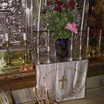
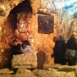
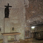
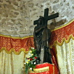
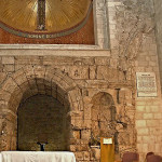
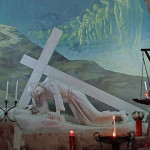
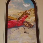
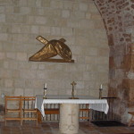
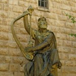
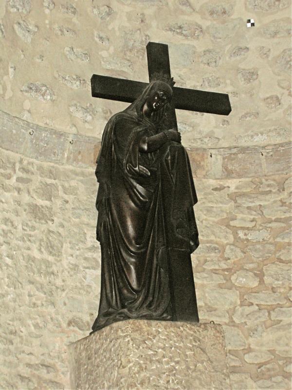
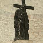
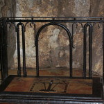
From the right of the chapel, another steep staircase of 22 steps leads to the Franciscan Chapel of the Finding of the Cross. This rough-walled area has been built within part of the ancient quarry, apparently later converted into a cistern for water storage.
Here, according to tradition, St Helena (Constantine’s mother) discovered the True Cross and other instruments of the Passion and crucifixion. A statue behind the altar shows her holding the Cross.
Remnants of 12th-century frescoes are displayed behind glass walls.
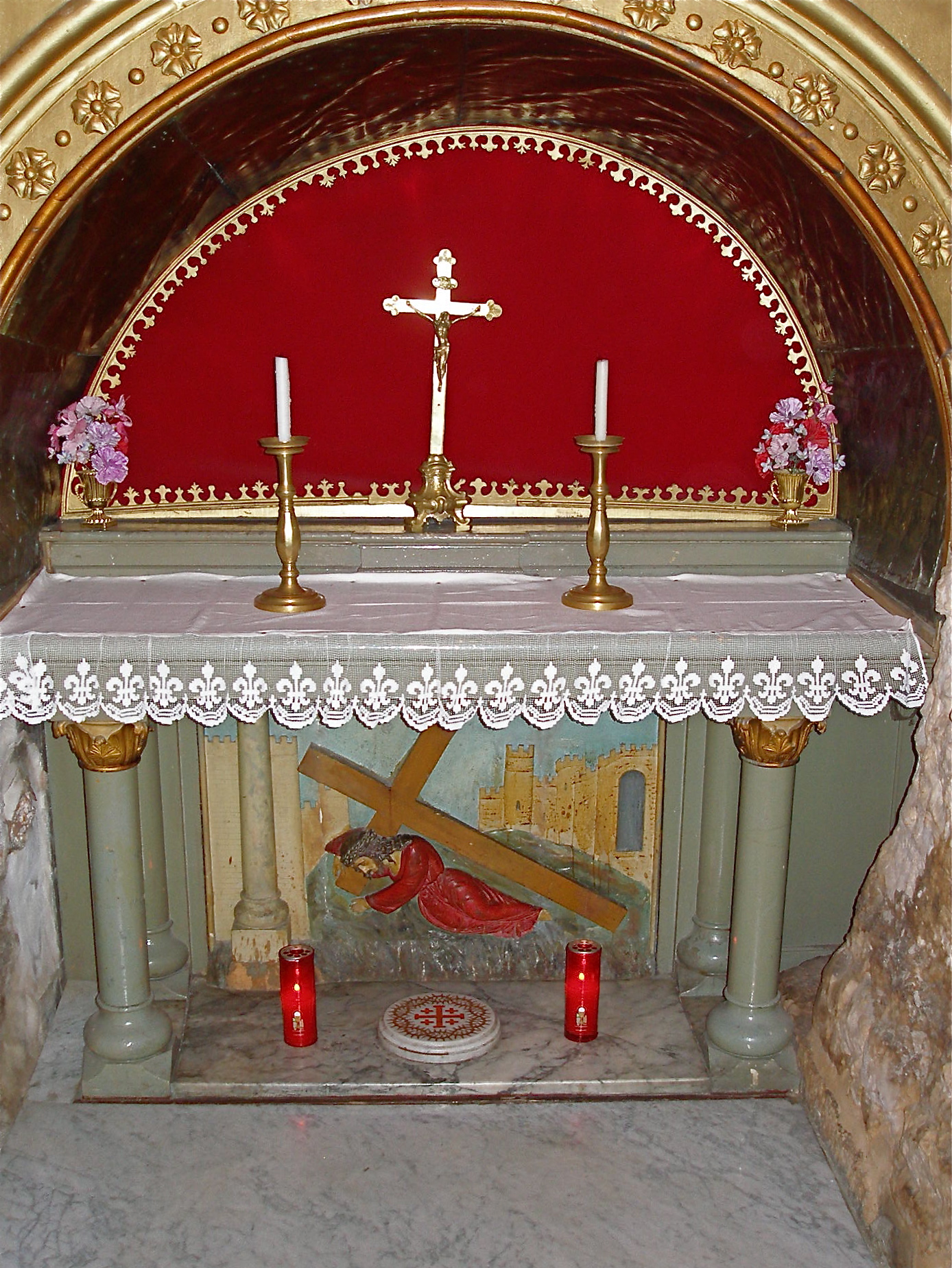
After ascending all the steps to the ground floor again, immediately on the left is the Greek Chapel of the Derision. It commemorates the mocking of Jesus by the Roman soldiers. Under the altar is a fragment of a column, said to be the one Jesus sat on when the crown of thorns was put on his head.
Rock of Calvary can be seen
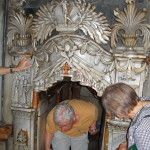
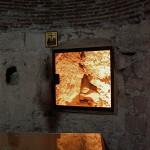
Further along, on the left, a glass screen protrudes slightly into the aisle. Through it can be seen the natural rock of Calvary.
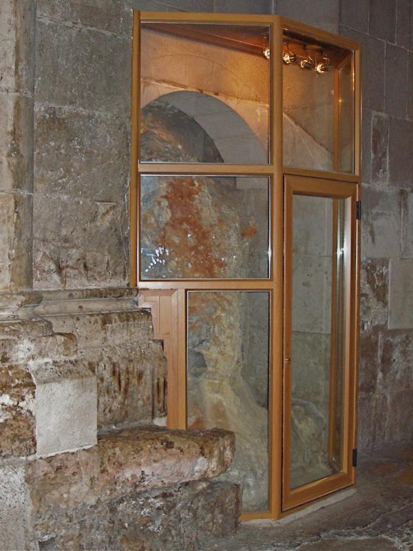
Rock of Calvary on display in Church of the Holy Sepulchre (Seetheholyland.net)
Next to it is a small area called the Chapel of Adam. It is directly beneath the Chapel of Calvary upstairs, and an ancient tradition suggests that Adam was buried here and that the blood of Jesus tricked down to his skull.
Here the rock of Calvary can be seen again, with a fissure running through it. Some believe the fissure was caused by the earthquake at the time Christ died. Others suggest that the rock of Calvary was left standing by quarrymen because it was cracked.
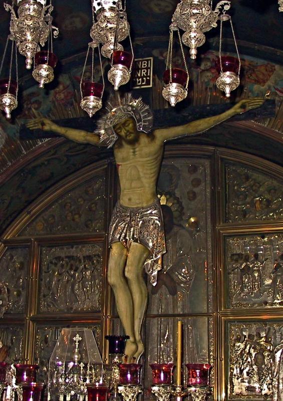
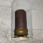
From this chapel, a door leads to the Greek Treasury, holding relics including one of the True Cross. The treasury is usually closed.
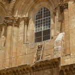
Rights of possession are jealously guarded
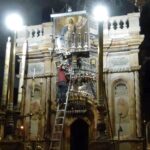
Under a decree called the Status Quo imposed by the Ottoman Turks in 1757, ownership of the Church of the Holy Sepulchre is shared between the Greek Orthodox, Catholics (known in the Holy Land as Latins) and Armenian Orthodox. Three minor communities, Coptic, Syriac and Ethiopian Orthodox, have rights to use certain areas. All the churches jealously guard their rights.
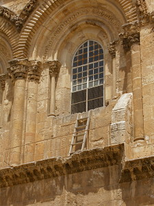
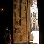
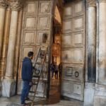
One effect of the Status Quo can be seen by looking above the main entrance on leaving the church.
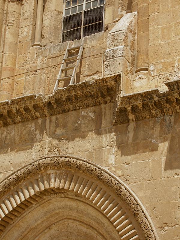
Immovable ladder over entrance to Church of the Holy Sepulchre (Seetheholyland.net)
The wooden ladder leaning against a window ledge has been there since early in the 18th century. Nobody knows why it is there, but because it was in place when the Status Quo began in 1757, it must remain there.
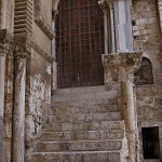
As one faces the main entrance, to the right is a disused stairway that was the Crusaders’ entrance to Calvary. At the top of the stairs is the Chapel of the Franks. Beneath it is the Greek Orthodox Chapel of St Mary of Egypt — a prostitute who was converted in the church courtyard in the 4th century and spent the rest of her life as a hermit.
Related article:
In Scripture:
The crucifixion: Matthew 27:24-56; Mark 15:16-41; Luke 23:1-49; John 19:1-37
The burial of Jesus: Matthew 27:57-66; Mark 15:42-47; Luke 23:50-56; John 19:38-42
The Resurrection: Matthew 28:1-10; Mark 16:1-8; Luke 24:1-12; John 20:1-10
Administered by: Confraternity of the Holy Sepulchre (Greek Orthodox), Franciscan Custody of the Holy Land (Catholic), Brotherhood of St James (Armenian Orthodox)
Tel.: 972-2-6267000
Opens: Apr-Sep 4am, Oct-Mar 5am. Closes: Apr-Aug 8pm, Mar and Sep 7.30pm, Oct-Feb 7pm. Sunday morning liturgies are usually: Coptic 4am, Catholic 5.30am, Greek Orthodox 7am, Syriac Orthodox 8am; Armenian Orthodox 8.45am on alternating Sundays with a weekly procession at 4.15pm.
-
- Pilgrims at the Stone of Anointing (Seetheholyland.net)
-
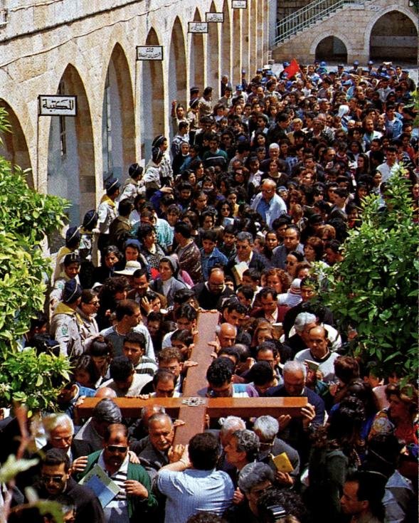
- Venerating the crucified Christ at the Stone of Anointing on Good Friday (© Custodia Terrae Sanctae)
-
- Mosaic behind Stone of Anointing, showing Jesus being carried to his tomb (© David Berkowitz)
-
- Detail of mosaic behind Stone of Anointing (Brian Jeffery Beggerly)
-
- Marble canopy marking Station of the Holy Women (Seetheholyland.net)
-
- Close-up of lamp in Station of the Holy Women (Seetheholyland.net)
-
- Mosaic behind Station of the Holy Women (Seetheholyland.net)
-
- Edicule over the Tomb of Christ (Seetheholyland.net)
-

- Part of the rotunda in the Church of the Holy Sepulchre (© Custodia Terrae Sanctae)
-
- Dome above edicule of the Tomb of Christ (Seetheholyland.net)
-

- Sunburst design in dome of Church of the Holy Sepulchre (Susie Cagle)
-
- Visitors stand in front of the iconostatis in the Katholikon (Seetheholyland.net)
-
- Omphalos on the floor of the Katholicon (Adriatikus / Wikimedia)
-
- Close-up of the omphalus in the Katholikon (Seetheholyland.net)
-

- Icon of Jesus in dome of the Katholicon (Seetheholyland.net)
-
- Throne of the Greek Orthodox Patriarch of Antioch in the Katholikon (Seetheholyland.net)
-
- Throne of the Greek Orthodox Patriarch of Jerusalem in the Katholikon (Seetheholyland.net)
-
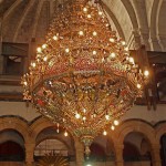
- Ornate candelebra in the Katholikon (Seetheholyland.net)
-
- Tiny Coptic chapel at the rear of the Tomb of Christ (Seetheholyland.net)
-
- Dilapidated altar in Syrian Orthodox Chapel of St Joseph of Arimathea and St Nicodemus (Seetheholyland.net)
-
- Eucharist service in Chapel of St Joseph of Arimathea and St Nicodemus (Seetheholyland.net)
-
- First-century Jewish tombs adjacent to Chapel of St Joseph of Arimathea and St Nicodemus (Seetheholyland.net)
-
- Altar of St Mary Magdalene (Seetheholyland.net)
-
- Mary Magdalene meeting Jesus, relief above altar of St Mary Magdalene (Seetheholyland.net)
-
- Chapel of the Apparition of Jesus to his Mother (Seetheholyland.net)
-
- Section of column displayed in Chapel of the Apparition (Seetheholyland.net)
-
- Scenes from the Way of the Cross on wall of Chapel of the Apparition (Seetheholyland.net)
-
- Contrasting columns in Arches of the Virgin (Seetheholyland.net)
-

- Prison of Christ chapel in Church of the Holy Sepulchre 25 Church of the Holy Sepulchre: ? Chapel of St Mary Magdalen (Seetheholyland.net)
-
- Chapel of St Longinus (Seetheholyland.net)
-
- Detail of Crucifixion, Chapel of St Longinus (© Deror Avi)
-
- Chapel of the Division of the Raiment (Seetheholyland.net)
-
- Steps down to Chapel of St Helena and Chapel of the Finding of the Cross (Seetheholyland.net)
-
- Pilgrims’ crosses in stairwell to Chapel of St Helena Church of the Holy Sepulchre: Pilgrims’ crosses in the stairway to the Chapel of St Helena (Seetheholyland.net)
-
- Chapel of St Helena, now dedicated to St Gregory the Illuminator (Zvonimir Atletic)
-
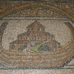
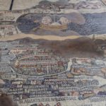
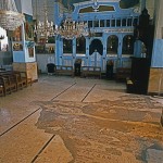
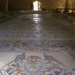
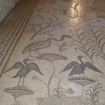
- Noah’s Ark mosaic in floor of Chapel of St Helena (Seetheholyland.net)
-
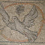
- Dove mosaic in floor of Chapel of St Helena (Seetheholyland.net)
-
- Altar of St Gregory the Illuminator in Chapel of St Helena (Seetheholyland.net)
-
- Altar of St Dismas in Chapel of St Helena (Seetheholyland.net)
-

- Chapel of the Finding of the Cross (Seetheholyland.net)
-
- Statue of St Helena holding the Cross of Christ, in Chapel of the Finding of the True Cross (Seetheholyland.net)
-
- Floor-level altar in Chapel of the Finding of the Cross (Seetheholyland.net)
-
- Chapel of the Derision, with part of column under altar (Seetheholyland.net)
-
- Rock of Calvary on display in Church of the Holy Sepulchre (Seetheholyland.net)
-
- Chapel of Adam directly under Chapel of the Crucifixion (© Ori / Wikimedia)
-
- Close-up of cracked rock of Calvary in Chapel (Seetheholyland.net)
-
- Wall of icons in Greek Treasury (Seetheholyland.net)
-
- Relic of True Cross displayed in Greek Treasury (Seetheholyland.net)
-
- Chapel of the Franks, at top of stairs to the right of entrance to Church of the Holy Sepulchre (Seetheholyland.net)
-
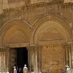
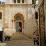
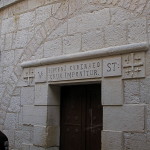
- Entrance to Church of the Holy Sepulchre (Seetheholyland.net)
-
- Immovable ladder on ledge over entrance to Church of the Holy Sepulchre (Seetheholyland.net)
-
- Prankster removing Holy Sepulchre ladder in 1997 (Silencedogood97)
-
- Chapel of St Helena, now dedicated to St Gregory the Illuminator, with floor restored in 2017 (Seetheholyland.net)
-
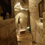
- The descent to the Chapel of St Helena in the Church of the Holy Sepulchre (Seetheholyland.net)
References:
Bar-Am, Aviva: Beyond the Walls: Churches of Jerusalem (Ahva Press, 1998)
Benelli, Carla, and Saltini, Tommaso (eds): The Holy Sepulchre: The Pilgrim’s New Guide (Franciscan Printing Press, 2011)
Freeman-Grenville, G. S. P.: The Holy Land: A Pilgrim’s Guide to Israel, Jordan and the Sinai (Continuum Publishing, 1996)
Gonen, Rivka: Biblical Holy Places: An illustrated guide (Collier Macmillan, 1987)
Inman, Nick, and McDonald, Ferdie (eds): Jerusalem & the Holy Land (Eyewitness Travel Guide, Dorling Kindersley, 2007)
Murphy-O’Connor, Jerome: The Holy Land: An Oxford Archaeological Guide from Earliest Times to 1700 (Oxford University Press, 2005)
Wareham, Norman, and Gill, Jill: Every Pilgrim’s Guide to the Holy Land (Canterbury Press, 1996)
Wright, J. Robert: “Holy Sepulchre”, Holy Land, spring 1998)
External links: